|
search place name
|
||
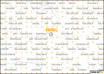
Pamel (Brabant, Belgium)Pamel is a town in the Brabant region of Belgium. An overview map of the region around Pamel is displayed below.
regional and 3d topo map of Pamel, Belgium ::
Pamel airports ::
The nearest airport is BRU - Brussels Natl (Melsbroek), located 30.4 km east of Pamel.
Other airports nearby include ANR - Antwerp Deurne (48.3 km north east), CRL - Charleroi Brussels South (49.8 km south east), QKT - Kortrijk-vevelgem Wevelgem (60.8 km west), WOE - Woensdrecht (71.2 km north), Nearby towns ::
Puttenberg (0.0km north) //
Donkerstraat (1.2km east) //
Poulk (1.2km east) //
Ledeberg (1.2km east) //
Berchem (1.9km south) //
Roesbeke (1.9km south) //
Woestijn (1.9km south) //
Ternat (1.9km south) //
Stene Brug (1.2km west) //
Pamelse (1.9km north) //
Impegem (1.9km north) //
Meersen (1.9km north) //
Tenberg (2.2km south west) //
Kruis (2.2km south west) //
Okegem (2.2km north west) //
Grote Meersen (2.2km north west) //
Prindaal (3.7km south) //
Ekelendries (3.7km south) //
Drie Egypten (3.7km south) //
Nederwijk (2.3km west) //
Meerbeke (2.3km west) //
Evergem (3.7km north) //
Bakergem (3.7km north) //
Huissegem (3.7km north) //
Onze-Lieve-Vrouw-Lombeek (3.0km south east) //
Derrevoetshoek (3.9km south) //
Letterbeek (3.9km south) //
Kattem (3.0km north east) //
Neep (3.9km south) //
[all distances 'as the bird flies' and approximate] 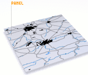 Places with similar names to Pamel, Belgium ::
Disclaimer :: Information on this page comes without warranty of any kind |
||
|
Where is Pamel? Elevation and coordinates ::
Latitude (lat): 50°50'0"N Longitude (lon): 4°4'0"E
Elevation (approx.): 19m (map arrows pan, magnifying glasses zoom) |
||
|
Visiting Pamel? Hotel/Accommodation ::
Book a hotel in Pamel Travel Guide ::
Buy a travel guide for Belgium rental cars ::
car rental offers GPS waypoint ::
download a GPX waypoint (PoI) of Pamel for your GPS receiver
|
||