|
search place name
|
||
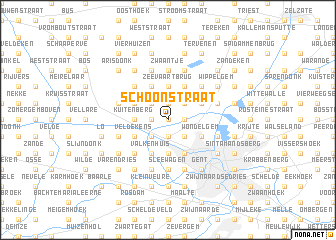
Schoonstraat (Oost-Vlaanderen, Belgium)Schoonstraat is a town in the Oost-Vlaanderen region of Belgium. An overview map of the region around Schoonstraat is displayed below.
regional and 3d topo map of Schoonstraat, Belgium ::
Schoonstraat airports ::
The nearest airport is QKT - Kortrijk-vevelgem Wevelgem, located 46.0 km south west of Schoonstraat.
Other airports nearby include ANR - Antwerp Deurne (55.3 km east), OST - Oostende (58.5 km west), WOE - Woensdrecht (60.2 km north east), BRU - Brussels Natl (Melsbroek) (60.4 km east), Nearby towns ::
Overdam (0.0km north) //
Kruisken (1.2km west) //
Belzele (1.2km west) //
Venhoute (1.2km east) //
Waalbrug (1.2km east) //
Moleneinde (1.2km east) //
Berrent (1.9km north) //
Hulleken (1.9km north) //
Broekem (1.9km south) //
Mariakerkebrug (1.9km south) //
Beekstraat (2.2km south west) //
Rabot (2.2km south west) //
Westbeke (2.2km south west) //
Kromveld (2.2km north west) //
Linde (2.2km north west) //
Kolegem (2.2km south east) //
Evergem (2.2km north east) //
Vierlinden (2.2km north east) //
Botestraat (2.2km south east) //
Westergem (2.2km south east) //
Zeevaartbrug (3.7km north) //
Sleidinge (3.7km north) //
Het Haantjen (2.3km west) //
Kuitenberg (2.3km west) //
Mariakerke (3.7km south) //
Daasdonk (3.9km north) //
Hooiwege (3.9km north) //
Regenboog (3.9km south) //
Valkenhuis (3.9km south) //
[all distances 'as the bird flies' and approximate] 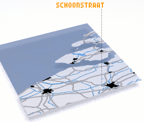 Places with similar names to Schoonstraat, Belgium ::
// Schoenstraat (BE)
Disclaimer :: Information on this page comes without warranty of any kind |
||
|
Where is Schoonstraat? Elevation and coordinates ::
Latitude (lat): 51°6'0"N Longitude (lon): 3°41'0"E
Elevation (approx.): 4m (map arrows pan, magnifying glasses zoom) |
||
|
Visiting Schoonstraat? Hotel/Accommodation ::
Book a hotel in Schoonstraat Travel Guide ::
Buy a travel guide for Belgium rental cars ::
car rental offers GPS waypoint ::
download a GPX waypoint (PoI) of Schoonstraat for your GPS receiver
|
||