|
search place name
|
||
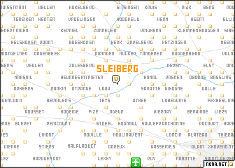
Sleiberg (Limburg, Belgium)Sleiberg is a town in the Limburg region of Belgium. An overview map of the region around Sleiberg is displayed below.
regional and 3d topo map of Sleiberg, Belgium ::
Sleiberg airports ::
The nearest airport is LGG - Liege, located 12.7 km south of Sleiberg.
Other airports nearby include MST - Maastricht (30.7 km north east), GKE - Geilenkirchen (49.9 km north east), BRU - Brussels Natl (Melsbroek) (67.8 km west), CRL - Charleroi Brussels South (75.4 km south west), Nearby towns ::
Rutten (1.2km east) //
Herstappe (1.9km south) //
Hoogmolen (1.9km south) //
Koninksem (2.2km north east) //
Nomerange (2.2km south west) //
Widooie (2.2km north west) //
Lauw (2.2km south west) //
Bethoveld (3.9km north) //
Mulken (3.9km north) //
Offelken (3.0km north east) //
Aux Croix (3.9km south) //
Thys (3.9km south) //
Crisnée (3.9km south) //
Piringen (3.9km north) //
Brouck (3.0km south west) //
Othée (4.4km south east) //
Kemexhe (5.6km south) //
Herk (5.6km north) //
Odeur (5.6km south) //
Colmont (5.6km north) //
Hamal (3.5km east) //
Heurne Sint-Pieter (3.5km west) //
Haren (5.7km north) //
Savatte (4.0km south east) //
Zalesberg (4.0km north west) //
Oreye (4.0km south west) //
Vechmaal (4.0km north west) //
Otrange (4.0km south west) //
La Vallée (6.0km south east) //
[all distances 'as the bird flies' and approximate] 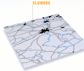 Places with similar names to Sleiberg, Belgium ::
Disclaimer :: Information on this page comes without warranty of any kind |
||
|
Where is Sleiberg? Elevation and coordinates ::
Latitude (lat): 50°45'0"N Longitude (lon): 5°25'0"E
Elevation (approx.): 111m (map arrows pan, magnifying glasses zoom) |
||
|
Visiting Sleiberg? Hotel/Accommodation ::
Book a hotel in Sleiberg Travel Guide ::
Buy a travel guide for Belgium rental cars ::
car rental offers GPS waypoint ::
download a GPX waypoint (PoI) of Sleiberg for your GPS receiver
|
||