|
search place name
|
||
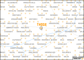
ʼt Hoge (West-Vlaanderen, Belgium)ʼt Hoge is a town in the West-Vlaanderen region of Belgium. An overview map of the region around ʼt Hoge is displayed below.
regional and 3d topo map of ʼt Hoge, Belgium ::
ʼt Hoge airports ::
The nearest airport is QKT - Kortrijk-vevelgem Wevelgem, located 23.7 km south west of ʼt Hoge.
Other airports nearby include OST - Oostende (45.7 km north west), LIL - Lille Lesquin (52.3 km south west), BRU - Brussels Natl (Melsbroek) (75.6 km east), ANR - Antwerp Deurne (76.6 km east), Nearby towns ::
Wontergem (1.2km east) //
Dentergem (1.9km south) //
De Neringen (1.9km north) //
Aarsele (1.9km north) //
Varinkshoek (2.2km south east) //
Terdonk (2.2km south east) //
Katteknok (2.2km south west) //
Baudelo (2.2km north east) //
De Paling (3.9km south) //
Markegem (3.9km south) //
Drie Koningen (3.0km south west) //
Kanegem (3.9km north) //
Ponthoek (4.4km south east) //
Galgen Kouter (4.4km south west) //
Duine (4.4km north east) //
Meulewijk (4.4km north east) //
Westhoek (4.4km north west) //
Haanhoek (3.5km west) //
Meiken (3.5km west) //
Dries (3.5km east) //
Grammene (3.5km east) //
Zuidwijk (5.6km north) //
Oosthoek (5.6km north) //
Neerhoek (5.7km south) //
Oeselgem (5.7km south) //
Ginste (4.0km south west) //
Gottem (4.0km south east) //
Molenkouter (5.7km south) //
Wakken (5.7km south) //
[all distances 'as the bird flies' and approximate] 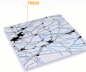
Disclaimer :: Information on this page comes without warranty of any kind |
||
|
Where is ʼt Hoge? Elevation and coordinates ::
Latitude (lat): 50°59'0"N Longitude (lon): 3°25'0"E
Elevation (approx.): 10m (map arrows pan, magnifying glasses zoom) |
||
|
Visiting ʼt Hoge? Hotel/Accommodation ::
Book a hotel in ʼt Hoge Travel Guide ::
Buy a travel guide for Belgium rental cars ::
car rental offers GPS waypoint ::
download a GPX waypoint (PoI) of ʼt Hoge for your GPS receiver
|
||