|
search place name
|
||
Veedijk (Antwerpen, Belgium)Veedijk is a town in the Antwerpen region of Belgium. An overview map of the region around Veedijk is displayed below.
regional and 3d topo map of Veedijk, Belgium ::

Veedijk airports ::
The nearest airport is ANR - Antwerp Deurne, located 42.5 km west of Veedijk.
Other airports nearby include EIN - Eindhoven (45.1 km north east), BRU - Brussels Natl (Melsbroek) (45.4 km south west), MST - Maastricht (54.7 km east), LGG - Liege (58.4 km south east), Nearby towns ::
Meerlaar (1.9km south) //
Nieuwstraat (1.9km north) //
Zittaart (1.9km north) //
Klein Vorst (2.2km south east) //
Beustereinde (2.2km south west) //
Genebroek (2.2km north east) //
Baalberg (2.2km south east) //
Gebergte (3.7km north) //
Baalheide (3.7km south) //
Genepas (3.9km north) //
Genelaar (3.0km north east) //
Schuitbroek (3.0km south west) //
Hezemeerheide (3.0km north west) //
Baal (3.0km south east) //
Verbroekt (3.0km south east) //
Borgerhout (3.0km north east) //
Liebroek (3.9km south) //
Schoot (3.9km south) //
Meiberg (4.4km north east) //
Lil (4.4km north east) //
Gasthuis Heide (4.4km north west) //
Meerhout (4.4km north east) //
Vorst (4.4km south west) //
Tessenderlo (4.4km south east) //
Schreibroeken (4.4km south west) //
Makel (4.4km south west) //
Meir (3.5km west) //
Rendershoek (3.5km west) //
Eindhout (3.5km west) //
[all distances 'as the bird flies' and approximate] 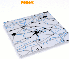
Disclaimer :: Information on this page comes without warranty of any kind |
||
|
Where is Veedijk? Elevation and coordinates ::
Latitude (lat): 51°6'0"N Longitude (lon): 5°3'0"E
Elevation (approx.): 20m (map arrows pan, magnifying glasses zoom) |
||
|
Visiting Veedijk? Hotel/Accommodation ::
Book a hotel in Veedijk Travel Guide ::
Buy a travel guide for Belgium rental cars ::
car rental offers GPS waypoint ::
download a GPX waypoint (PoI) of Veedijk for your GPS receiver
|
||