|
search place name
|
||
Vierstraat (Oost-Vlaanderen, Belgium)Vierstraat is a town in the Oost-Vlaanderen region of Belgium. An overview map of the region around Vierstraat is displayed below.
regional and 3d topo map of Vierstraat, Belgium ::

Vierstraat airports ::
The nearest airport is ANR - Antwerp Deurne, located 16.5 km east of Vierstraat.
Other airports nearby include BRU - Brussels Natl (Melsbroek) (32.8 km south east), WOE - Woensdrecht (34.1 km north), CRL - Charleroi Brussels South (78.4 km south), QKT - Kortrijk-vevelgem Wevelgem (81.2 km south west), Nearby towns ::
Veldstraat (1.2km west) //
Houtbriel (1.2km west) //
Beerstenhoek (1.2km east) //
Lauwershoek (1.2km east) //
Landmolen (1.9km north) //
Vijfhuizen (1.9km south) //
Oostbarm (1.9km south) //
Muizenhol (1.9km north) //
Schouselhoek (1.9km south) //
Hollebeek (1.9km south) //
Bergstraat (1.9km north) //
Temse (2.2km south west) //
Schoenstraat (2.2km south west) //
Velle (2.2km north west) //
Luiseek (2.2km north west) //
De Wallen (2.2km south east) //
Kraai (2.2km north east) //
Mosselbank (2.2km north east) //
Brandstraat (2.3km west) //
Den Doorn (2.3km west) //
Eigenlo (2.3km west) //
Zandstraat (3.7km north) //
De Bank (3.7km north) //
Hoogstraat (2.3km east) //
Buitenland (3.9km south) //
Sluis (3.9km south) //
Sas (3.9km south) //
Hoogeinde (3.9km north) //
Schouselbroek (3.9km south) //
[all distances 'as the bird flies' and approximate] 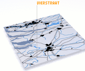 Places with similar names to Vierstraat, Belgium ::
// Frosterud (SE)
// Vierstraat (BE)
Disclaimer :: Information on this page comes without warranty of any kind |
||
|
Where is Vierstraat? Elevation and coordinates ::
Latitude (lat): 51°9'0"N Longitude (lon): 4°14'0"E
Elevation (approx.): 16m (map arrows pan, magnifying glasses zoom) |
||
|
Visiting Vierstraat? Hotel/Accommodation ::
Book a hotel in Vierstraat Travel Guide ::
Buy a travel guide for Belgium rental cars ::
car rental offers GPS waypoint ::
download a GPX waypoint (PoI) of Vierstraat for your GPS receiver
|
||