|
search place name
|
||
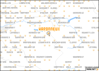
Waronneux (Liège, Belgium)Waronneux is a town in the Liège region of Belgium. An overview map of the region around Waronneux is displayed below.
regional and 3d topo map of Waronneux, Belgium ::
Waronneux airports ::
The nearest airport is LGG - Liege, located 42.5 km west of Waronneux.
Other airports nearby include MST - Maastricht (42.6 km north west), GKE - Geilenkirchen (43.9 km north), MGL - Moenchengladbach Monchengladbach (80.9 km north east), SPM - Spangdahlem Ab (81.1 km south east), Nearby towns ::
Roubrouck (0.0km north) //
Coreux Gilmister (1.2km west) //
Dreyborn (1.2km west) //
Mefferscheid (1.9km north) //
Trou Malbrouck (2.2km north west) //
Grand Lys (2.2km north west) //
Bergscheid (2.2km north east) //
Haut Beaumal (2.2km south west) //
Fagne Esset (2.2km south east) //
Drossart (2.2km south east) //
Courtil-Piette (3.7km south) //
Ancien Vivier (3.7km south) //
Mosenfagne (3.0km south west) //
Binster (3.9km north) //
Les Wayhays (3.9km south) //
Knickövel (4.4km north west) //
Clouse (4.4km north east) //
Graesbeck (4.4km north east) //
Brochepierre (4.4km south east) //
Longchamps (3.5km east) //
Herbiester (3.5km west) //
La Robinette (3.5km east) //
Oe (5.6km north) //
Hoboster (4.0km north west) //
La Carrière (5.7km north) //
Hütte (5.7km north) //
Hill (5.1km north east) //
Perkiets (5.1km north west) //
Pierreuse Heid (5.1km north west) //
[all distances 'as the bird flies' and approximate] 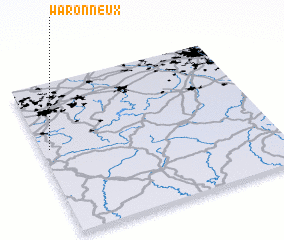 Places with similar names to Waronneux, Belgium ::
// Warnocks (US)
Disclaimer :: Information on this page comes without warranty of any kind |
||
|
Where is Waronneux? Elevation and coordinates ::
Latitude (lat): 50°34'0"N Longitude (lon): 6°2'0"E
Elevation (approx.): 452m (map arrows pan, magnifying glasses zoom) |
||
|
Visiting Waronneux? Hotel/Accommodation ::
Book a hotel in Waronneux Travel Guide ::
Buy a travel guide for Belgium rental cars ::
car rental offers GPS waypoint ::
download a GPX waypoint (PoI) of Waronneux for your GPS receiver
|
||