|
search place name
|
||
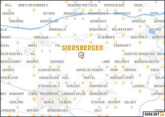
Giersbergen (Noord-Brabant, Netherlands)Giersbergen is a town in the Noord-Brabant region of Netherlands. An overview map of the region around Giersbergen is displayed below.
regional and 3d topo map of Giersbergen, Netherlands ::
Giersbergen airports ::
The nearest airport is EIN - Eindhoven, located 27.1 km south east of Giersbergen.
Other airports nearby include UTC - Soesterberg (53.8 km north), RTM - Rotterdam (59.9 km north west), WOE - Woensdrecht (60.3 km west), ANR - Antwerp Deurne (70.2 km south west), Nearby towns ::
Udenhout (3.7km south) //
Winkel (3.9km south) //
Winkelsche Hoek (3.9km south) //
Biezenmortel (3.0km south east) //
Fellenoord (3.0km north west) //
Drunen (3.9km north) //
Schoorstraat (4.4km south west) //
Brem (5.6km south) //
Berkel (5.6km south) //
Berkhoek (5.6km south) //
Heikant (5.6km south) //
Mortel (5.7km south) //
Heuveltje (5.7km south) //
Kreitenmolen (5.7km south) //
Heikant (3.9km south east) //
Laar (3.9km south east) //
Den Hoek (3.9km south west) //
Kuiksche Heide (5.7km north) //
Elshout (5.7km north) //
Hooghout (5.1km south east) //
Molenstraat (5.1km south west) //
Kuil (6.0km south) //
Vliedberg (5.1km north east) //
Onsenoort (6.0km north) //
Heuneind (7.4km south) //
Heukelom (7.5km south) //
Enschot (7.5km south) //
De Kraan (7.5km south) //
Gijzel (5.0km east) //
[all distances 'as the bird flies' and approximate] 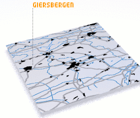 Places with similar names to Giersbergen, Netherlands :: Disclaimer :: Information on this page comes without warranty of any kind |
||
|
Where is Giersbergen? Elevation and coordinates ::
Latitude (lat): 51°39'0"N Longitude (lon): 5°9'0"E
Elevation (approx.): 16m (map arrows pan, magnifying glasses zoom) |
||
|
Visiting Giersbergen? Hotel/Accommodation ::
Book a hotel in Giersbergen Travel Guide ::
Buy a travel guide for Netherlands rental cars ::
car rental offers GPS waypoint ::
download a GPX waypoint (PoI) of Giersbergen for your GPS receiver
|
||