|
search place name
|
||
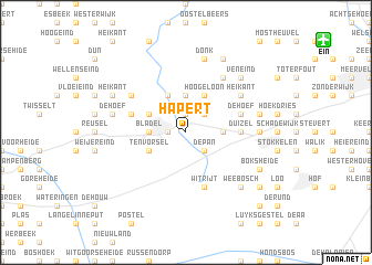
Hapert (Noord-Brabant, Netherlands)Hapert is a town in the Noord-Brabant region of Netherlands. An overview map of the region around Hapert is displayed below.
regional and 3d topo map of Hapert, Netherlands ::
Hapert airports ::
The nearest airport is EIN - Eindhoven, located 12.7 km north east of Hapert.
Other airports nearby include ANR - Antwerp Deurne (58.5 km west), MST - Maastricht (62.4 km south east), WOE - Woensdrecht (63.8 km west), GKE - Geilenkirchen (71.5 km south east), Nearby towns ::
Lemel (1.9km north) //
Hofstad (1.2km west) //
Landorp (2.2km north east) //
Dalem (2.2km south east) //
De Pan (2.2km south east) //
Heieind (3.7km north) //
Mosik (2.3km east) //
Helleneind (2.3km west) //
Bladel (2.3km west) //
Het Bosch (3.0km north west) //
Casteren (3.9km north) //
Hoogeloon (3.9km north) //
Ten Vorsel (3.0km south west) //
Duizel (3.5km east) //
Franse Hoef (3.9km north west) //
De Hoef (3.9km north east) //
Witrijt (5.7km south) //
Heikant (5.1km north east) //
Biezenheuvel (5.1km north east) //
Hoogcasteren (5.1km north east) //
Netersel (5.1km north west) //
Broekenseind (5.1km north east) //
Vessem (6.0km north east) //
Eersel (4.6km east) //
Meer (4.6km east) //
Meerven (7.5km north) //
Donk (7.5km north) //
Sneidershoek (5.0km east) //
De Hoef (5.0km west) //
[all distances 'as the bird flies' and approximate] 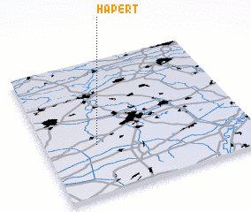 Places with similar names to Hapert, Netherlands ::
Disclaimer :: Information on this page comes without warranty of any kind |
||
|
Where is Hapert? Elevation and coordinates ::
Latitude (lat): 51°22'0"N Longitude (lon): 5°15'0"E
Elevation (approx.): 29m (map arrows pan, magnifying glasses zoom) |
||
|
Visiting Hapert? Hotel/Accommodation ::
Book a hotel in Hapert Travel Guide ::
Buy a travel guide for Netherlands rental cars ::
car rental offers GPS waypoint ::
download a GPX waypoint (PoI) of Hapert for your GPS receiver
|
||