|
search place name
|
||
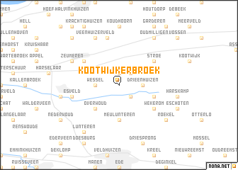
Kootwijkerbroek (Gelderland, Netherlands)Kootwijkerbroek is a town in the Gelderland region of Netherlands. An overview map of the region around Kootwijkerbroek is displayed below.
regional and 3d topo map of Kootwijkerbroek, Netherlands ::
Kootwijkerbroek airports ::
The nearest airport is UTC - Soesterberg, located 26.9 km west of Kootwijkerbroek.
Other airports nearby include AMS - Amsterdam Schiphol (64.2 km west), EIN - Eindhoven (80.4 km south), ENS - Enschede Twenthe (83.6 km east), LID - Valkenburg (85.5 km west), Nearby towns ::
Garderbroek (1.9km north) //
Essen (2.2km north east) //
De Valk (2.2km south east) //
Drieënhuizen (2.3km east) //
Wessel (2.3km west) //
Overwoud (4.3km south west) //
Meulunteren (5.6km south) //
Westeneng (3.9km south east) //
Wekerom (5.0km south east) //
Stroe (5.0km north east) //
Voorthuizen (5.0km north west) //
Batoʼs Erf (7.5km north) //
Esveld (4.9km west) //
Zeumeren (5.9km north west) //
Veenhuizerveld (7.8km north) //
Roekel (7.2km south east) //
Oud-Milligen (8.2km north east) //
Lunteren (8.2km south west) //
Gerven (8.7km north west) //
[all distances 'as the bird flies' and approximate] 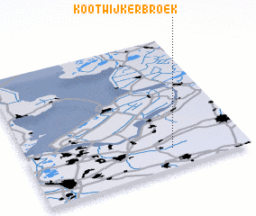 Places with similar names to Kootwijkerbroek, Netherlands :: Disclaimer :: Information on this page comes without warranty of any kind |
||
|
Where is Kootwijkerbroek? Elevation and coordinates ::
Latitude (lat): 52°9'0"N Longitude (lon): 5°40'0"E
Elevation (approx.): 16m (map arrows pan, magnifying glasses zoom) |
||
|
Visiting Kootwijkerbroek? Hotel/Accommodation ::
Book a hotel in Kootwijkerbroek Travel Guide ::
Buy a travel guide for Netherlands rental cars ::
car rental offers GPS waypoint ::
download a GPX waypoint (PoI) of Kootwijkerbroek for your GPS receiver
|
||