|
search place name
|
||
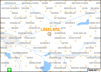
Lageland (Groningen, Netherlands)Lageland is a town in the Groningen region of Netherlands. An overview map of the region around Lageland is displayed below.
regional and 3d topo map of Lageland, Netherlands ::
Lageland airports ::
The nearest airport is GRQ - Groningen Eelde, located 15.6 km south west of Lageland.
Other airports nearby include EME - Emden (38.3 km north east), BMK - Borkum (40.3 km north), NRD - Norderney (62.8 km north east), LWR - Leeuwarden (63.8 km west), Nearby towns ::
Harkstede (2.2km south west) //
Schaaphok (2.2km east) //
Bouwerschap (3.7km north) //
Blokum (3.7km north) //
Woudbloem (2.9km south east) //
Scharmer (3.9km south) //
Luddeweer (2.9km north east) //
Woltersum (3.9km north) //
Borgweg (5.6km south) //
Kolham (5.7km south) //
Zevenhuizen (3.8km north west) //
Ruiten (5.0km south east) //
Wittewierum (6.0km north) //
Westerbroek (6.0km south) //
Bovenrijge (5.0km north west) //
Ten Boer (6.0km north) //
Foxhol (7.4km south) //
Foxholsterbosch (7.4km south) //
Denemarken (4.4km east) //
Foxham (7.5km south) //
Martenshoek (7.5km south) //
Ten Post (7.5km north) //
Lellens (7.5km north) //
Kroddeburen (7.5km north) //
Engelbert (4.8km south west) //
Garmerwolde (4.8km north west) //
Lageweg (4.8km north west) //
Buitenhuizen (6.5km south east) //
Froombosch (5.8km south east) //
[all distances 'as the bird flies' and approximate] 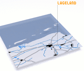 Places with similar names to Lageland, Netherlands ::
// Le Joland (FR)
Disclaimer :: Information on this page comes without warranty of any kind |
||
|
Where is Lageland? Elevation and coordinates ::
Latitude (lat): 53°14'0"N Longitude (lon): 6°43'0"E
Elevation (approx.): -3m (map arrows pan, magnifying glasses zoom) |
||
|
Visiting Lageland? Hotel/Accommodation ::
Book a hotel in Lageland Travel Guide ::
Buy a travel guide for Netherlands rental cars ::
car rental offers GPS waypoint ::
download a GPX waypoint (PoI) of Lageland for your GPS receiver
|
||