|
search place name
|
||
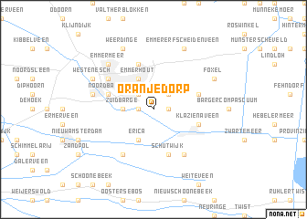
Oranjedorp (Drenthe, Netherlands)Oranjedorp is a town in the Drenthe region of Netherlands. An overview map of the region around Oranjedorp is displayed below.
regional and 3d topo map of Oranjedorp, Netherlands ::
Oranjedorp airports ::
The nearest airport is GRQ - Groningen Eelde, located 48.1 km north west of Oranjedorp.
Other airports nearby include ENS - Enschede Twenthe (53.7 km south), EME - Emden (73.7 km north), FMO - Muenster/osnabrueck Munster Osnabruck (84.8 km south east), BMK - Borkum (95.5 km north), Nearby towns ::
Nieuw-Dordrecht (1.1km east) //
Kollingsveen (1.1km west) //
Den Oever (2.2km north west) //
Barger-Oosterveld (2.2km north east) //
Zuidbarge (2.2km west) //
Angelslo (3.9km north) //
Erica (3.9km south) //
Emmerhout (3.9km north) //
Emmerschans (5.7km north) //
Schutwijk (5.7km south) //
Noordbarge (3.8km north west) //
Smeulveen (3.8km north east) //
Klazienaveen (3.8km south east) //
Barger-Oosterveen (6.0km south) //
Amsterdamscheveld (6.0km south) //
Emmen (5.0km north west) //
Bargeres (4.9km west) //
Emmermeer (6.5km north west) //
Weerdinge (7.7km north) //
Emmer-Erfscheidenveen (7.7km north) //
Foxel (5.8km north east) //
Westenesch (5.8km north west) //
[all distances 'as the bird flies' and approximate] 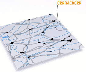 Places with similar names to Oranjedorp, Netherlands :: Disclaimer :: Information on this page comes without warranty of any kind |
||
|
Where is Oranjedorp? Elevation and coordinates ::
Latitude (lat): 52°45'0"N Longitude (lon): 6°57'0"E
Elevation (approx.): 19m (map arrows pan, magnifying glasses zoom) |
||
|
Visiting Oranjedorp? Hotel/Accommodation ::
Book a hotel in Oranjedorp Travel Guide ::
Buy a travel guide for Netherlands rental cars ::
car rental offers GPS waypoint ::
download a GPX waypoint (PoI) of Oranjedorp for your GPS receiver
|
||