|
search place name
|
||
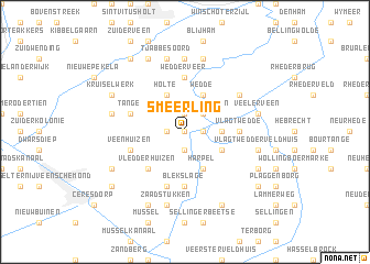
Smeerling (Groningen, Netherlands)Smeerling is a town in the Groningen region of Netherlands. An overview map of the region around Smeerling is displayed below.
regional and 3d topo map of Smeerling, Netherlands ::
Smeerling airports ::
The nearest airport is GRQ - Groningen Eelde, located 34.0 km west of Smeerling.
Other airports nearby include EME - Emden (41.2 km north), BMK - Borkum (66.9 km north), NRD - Norderney (75.7 km north), WVN - Wilhelmshaven Mariensiel (84.2 km north east), Nearby towns ::
Sterenborg (0.0km north) //
Ter Wupping (1.1km east) //
Barlage (1.9km south) //
Hofte (1.9km north) //
Onstwedde (1.1km west) //
Wessinghuizen (2.2km north east) //
Veele (2.2km east) //
Ellersinghuizen (2.9km south east) //
Harpel (3.9km south) //
Wedde (3.9km north) //
Hoornderveen (3.9km north) //
Holte (3.9km north) //
Vledderhuizen (4.3km south west) //
Wedderveer (5.6km north) //
Vlagtwedde (3.3km east) //
Blekslage (5.6km south) //
Veenhuizen (3.8km south west) //
Tange (3.8km north west) //
Vosseberg (5.7km south) //
Vriescheloo (5.0km north east) //
Wedderheide (5.0km north east) //
Morige (7.4km north) //
Vlagtwedder-Veldhuis (4.8km south east) //
Veelerveen (4.8km north east) //
Zaadstukken (7.5km south) //
Lutjeloo (7.5km north) //
Zandstroom (7.5km north) //
Alteveer (4.8km north west) //
Hoorn (7.5km north) //
[all distances 'as the bird flies' and approximate] 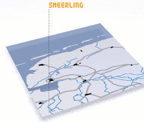 Places with similar names to Smeerling, Netherlands :: Disclaimer :: Information on this page comes without warranty of any kind |
||
|
Where is Smeerling? Elevation and coordinates ::
Latitude (lat): 53°2'0"N Longitude (lon): 7°4'0"E
(map arrows pan, magnifying glasses zoom) |
||
|
Visiting Smeerling? Hotel/Accommodation ::
Book a hotel in Smeerling Travel Guide ::
Buy a travel guide for Netherlands rental cars ::
car rental offers GPS waypoint ::
download a GPX waypoint (PoI) of Smeerling for your GPS receiver
|
||