|
search place name
|
||
Éxo Goniá (Piraiévs, Greece)Éxo Goniá is a town in the Piraiévs region of Greece. An overview map of the region around Éxo Goniá is displayed below.
regional and 3d topo map of Éxo Goniá, Greece ::

Éxo Goniá airports ::
The nearest airport is JTR - Santorini, located 3.2 km north east of Éxo Goniá.
Other airports nearby include JMK - Mykonos Mikonos (117.1 km north), HER - Heraklion Nikos Kazantzakis (118.3 km south), JSH - Sitia (142.3 km south east), LRS - Leros (149.8 km north east), Nearby towns ::
Pírgos (0.0km north) //
Megalokhórion (1.5km west) //
Órmos Athiniós (1.5km west) //
Mesariá (1.9km north) //
Vóthon (1.9km north) //
Episkopí Goniás (1.5km east) //
Emboríon (3.7km south) //
Karterádhos (3.7km north) //
Monólithos (3.5km north east) //
Thíra (4.0km north) //
Vourvoúlos (5.8km north) //
Akrotírion (5.8km south west) //
Imerovíglion (6.3km north west) //
[all distances 'as the bird flies' and approximate] 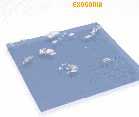
Disclaimer :: Information on this page comes without warranty of any kind |
||
|
Where is Éxo Goniá? Elevation and coordinates ::
Latitude (lat): 36°23'0"N Longitude (lon): 25°27'0"E
Elevation (approx.): 348m (map arrows pan, magnifying glasses zoom) |
||
|
Visiting Éxo Goniá? Hotel/Accommodation ::
Book a hotel in Éxo Goniá Travel Guide ::
Buy a travel guide for Greece rental cars ::
car rental offers GPS waypoint ::
download a GPX waypoint (PoI) of Éxo Goniá for your GPS receiver
|
||