|
search place name
|
||
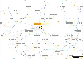
Kikídhion (Piraiévs, Greece)Kikídhion is a town in the Piraiévs region of Greece. An overview map of the region around Kikídhion is displayed below.
regional and 3d topo map of Kikídhion, Greece ::
Kikídhion airports ::
The nearest airport is AXD - Alexandroupolis Dimokritos, located 52.7 km south east of Kikídhion.
Other airports nearby include KVA - Kavala Megas Alexandros Intl (72.1 km west), PDV - Plovdiv (116.3 km north west), LXS - Limnos (134.3 km south), JSI - Skiathos Alexandros Papadiamantis (270.9 km south west), Nearby towns ::
Bróktion (2.3km south east) //
Karidhiá (3.7km north) //
Kósmion (4.0km south) //
Komotiní (3.2km west) //
Kálkhas (4.6km north east) //
Khatísion (4.6km south west) //
Ísalon (5.7km south) //
Tikhirón (6.2km north east) //
Thrilórion (5.6km south east) //
Pándrosos (7.4km north) //
Ifandaí (5.6km west) //
Símvola (7.5km north) //
Méga Doukáton (7.5km south) //
Dhími (7.0km north west) //
Iámbolis (7.0km north east) //
Stilárion (6.7km north east) //
Áyioi Theódhoroi (7.9km south) //
Kallithéa (7.9km south) //
Ayíasma (7.9km north west) //
Thámna (7.9km north west) //
Fílakas (8.5km south east) //
Kalamókastron (9.3km south west) //
Amáranda (9.3km south east) //
[all distances 'as the bird flies' and approximate] 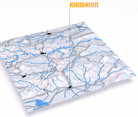 Places with similar names to Kikídhion, Greece :: Disclaimer :: Information on this page comes without warranty of any kind |
||
|
Where is Kikídhion? Elevation and coordinates ::
Latitude (lat): 41°7'0"N Longitude (lon): 25°26'0"E
Elevation (approx.): 54m (map arrows pan, magnifying glasses zoom) |
||
|
Visiting Kikídhion? Hotel/Accommodation ::
Book a hotel in Kikídhion Travel Guide ::
Buy a travel guide for Greece rental cars ::
car rental offers GPS waypoint ::
download a GPX waypoint (PoI) of Kikídhion for your GPS receiver
|
||