|
search place name
|
||
Koutsourás (Piraiévs, Greece)Koutsourás is a town in the Piraiévs region of Greece. An overview map of the region around Koutsourás is displayed below.
regional and 3d topo map of Koutsourás, Greece ::

Koutsourás airports ::
The nearest airport is JSH - Sitia, located 24.5 km north east of Koutsourás.
Other airports nearby include HER - Heraklion Nikos Kazantzakis (77.9 km north west), KSJ - Kasos (97.4 km north east), AOK - Karpathos (117.1 km east), JTR - Santorini (157.4 km north), Nearby towns ::
Tsikalariá (1.9km north) //
Makriyialós (1.5km east) //
Pilalímata (3.0km east) //
Áyios Stéfanos (4.0km north) //
Lápithos (5.6km north) //
Ayía Fothiá (4.6km west) //
Stavrokhórion (5.8km north) //
Aórion (5.8km north) //
Orinón (6.3km north west) //
Pévkoi (6.3km north east) //
Khrisopiyí (7.4km north) //
Skhinokápsala (6.3km west) //
Azálion (7.1km north east) //
[all distances 'as the bird flies' and approximate] 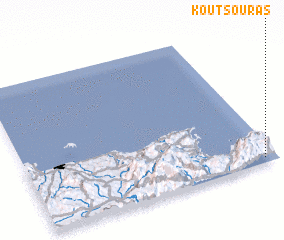 Places with similar names to Koutsourás, Greece ::
// Kędzierz (PL)
// Kot Zairoz (PK)
// Gatuzières (FR)
// Cuddus Gheorghis (ET)
// Katsurase (JP)
// Káto Zarós (GR)
// Katsarós (GR)
// Katsarós (GR)
// Katsarós (GR)
Disclaimer :: Information on this page comes without warranty of any kind |
||
|
Where is Koutsourás? Elevation and coordinates ::
Latitude (lat): 35°2'0"N Longitude (lon): 25°57'0"E
Elevation (approx.): 11m (map arrows pan, magnifying glasses zoom) |
||
|
Visiting Koutsourás? Hotel/Accommodation ::
Book a hotel in Koutsourás Travel Guide ::
Buy a travel guide for Greece rental cars ::
car rental offers GPS waypoint ::
download a GPX waypoint (PoI) of Koutsourás for your GPS receiver
|
||