|
search place name
|
||
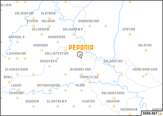
Peponiá (Piraiévs, Greece)Peponiá is a town in the Piraiévs region of Greece. An overview map of the region around Peponiá is displayed below.
regional and 3d topo map of Peponiá, Greece ::
Peponiá airports ::
The nearest airport is KSO - Kastoria Aristotelis, located 19.9 km north west of Peponiá.
Other airports nearby include KZI - Kozani Filippos (36.1 km east), IOA - Ioannina (84.1 km south west), OHD - Ohrid (113.1 km north west), LRA - Larissa Larisa (115.0 km south east), Nearby towns ::
Palioúrion (2.3km north east) //
Axiókastron (3.7km south) //
Neápolis (3.4km north west) //
Polílakkon (4.7km south east) //
Pilórion (4.7km south west) //
Kallistrátion (4.2km west) //
Trapezítsa (5.7km south) //
Panaríti (5.7km south) //
Melidhónion (5.7km north) //
Khimerinón (5.6km north west) //
Klíma (7.4km south) //
Kalonérion (6.0km east) //
Dhrióvounon (7.5km north) //
Peristéra (6.0km west) //
Parókthion (7.9km south) //
Pelekános (8.5km north east) //
Anthokhórion (9.3km south west) //
Molókha (9.3km north west) //
[all distances 'as the bird flies' and approximate] 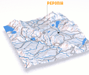 Places with similar names to Peponiá, Greece ::
Disclaimer :: Information on this page comes without warranty of any kind |
||
|
Where is Peponiá? Elevation and coordinates ::
Latitude (lat): 40°18'0"N Longitude (lon): 21°25'0"E
Elevation (approx.): 583m (map arrows pan, magnifying glasses zoom) |
||
|
Visiting Peponiá? Hotel/Accommodation ::
Book a hotel in Peponiá Travel Guide ::
Buy a travel guide for Greece rental cars ::
car rental offers GPS waypoint ::
download a GPX waypoint (PoI) of Peponiá for your GPS receiver
|
||