|
search place name
|
||
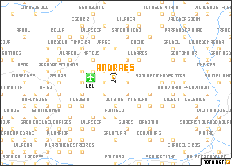
Andrães (Vila Real, Portugal)Andrães is a town in the Vila Real region of Portugal. An overview map of the region around Andrães is displayed below.
regional and 3d topo map of Andrães, Portugal ::
Andrães airports ::
The nearest airport is VRL - Vila Real, located 3.2 km west of Andrães.
Other airports nearby include OPO - Porto (83.7 km west), BGC - Braganca (104.6 km north east), VGO - Vigo (132.8 km north west), SCQ - Santiago (190.9 km north), Nearby towns ::
São Cibrão (1.4km east) //
Vale de Nogueiras (1.9km north) //
Portela (1.4km west) //
Galegos (2.3km north east) //
Arroios (2.3km north west) //
Constantim (2.3km north west) //
Fonteita (2.3km south east) //
Mosteirô (2.3km south west) //
Jorjais (3.7km south) //
Carvas (4.0km north) //
Torneiros (3.3km north west) //
Ludares (4.6km north east) //
Abambres (4.6km north west) //
Mateus (4.6km north west) //
Magalhã (4.6km south east) //
Alvites (5.6km north) //
Bustelo (4.2km west) //
Fontelo (5.6km south) //
Folhadela (4.6km north west) //
Varge (5.7km north) //
Ponte (5.7km north) //
Mouços (5.7km north) //
Roalde (4.6km south east) //
Sabroso (4.6km south west) //
Abaças (5.7km south) //
Bujões (5.7km south) //
Gache (6.2km north east) //
Nogueira (5.6km south west) //
Carrazedo (5.6km south west) //
[all distances 'as the bird flies' and approximate]  Places with similar names to Andrães, Portugal ::
Disclaimer :: Information on this page comes without warranty of any kind |
||
|
Where is Andrães? Elevation and coordinates ::
Latitude (lat): 41°16'0"N Longitude (lon): 7°41'0"W
Elevation (approx.): 545m (map arrows pan, magnifying glasses zoom) |
||
|
Visiting Andrães? Hotel/Accommodation ::
Book a hotel in Andrães Travel Guide ::
Buy a travel guide for Portugal rental cars ::
car rental offers GPS waypoint ::
download a GPX waypoint (PoI) of Andrães for your GPS receiver
|
||