|
search place name
|
||
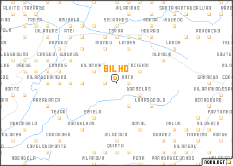
Bilhó (Vila Real, Portugal)Bilhó is a town in the Vila Real region of Portugal. An overview map of the region around Bilhó is displayed below.
regional and 3d topo map of Bilhó, Portugal ::
Bilhó airports ::
The nearest airport is VRL - Vila Real, located 17.7 km south east of Bilhó.
Other airports nearby include OPO - Porto (71.6 km west), BGC - Braganca (108.0 km north east), VGO - Vigo (112.7 km north west), SCQ - Santiago (172.6 km north), Nearby towns ::
Vila Chã (1.4km west) //
Anta (1.4km east) //
Bobal (1.4km east) //
Travassos (1.9km north) //
Fervença (4.0km south) //
Barreiro (4.0km south) //
Macieira (3.3km north east) //
Dornelas (3.3km south east) //
Vilarinho (3.3km north west) //
Vilar de Ferreiros (4.2km west) //
Limões (5.7km north) //
Rio Mau (5.7km north) //
Lamas de Olo (5.6km south east) //
Ermelo (6.2km south west) //
Cerva (7.4km north) //
Cainha (5.6km west) //
Adoria (7.5km north) //
Escoureda (7.5km north) //
Alvite (7.5km north) //
Carvalhais (6.9km north west) //
Arnal (7.9km south) //
Cabriz (7.9km north) //
Alvadia (6.7km north east) //
Suidros (6.7km north west) //
Mourão (8.5km north east) //
Pardelhas (8.5km south west) //
Asnela (8.5km north west) //
Atei (9.3km north west) //
[all distances 'as the bird flies' and approximate] 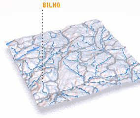 Places with similar names to Bilhó, Portugal ::
Disclaimer :: Information on this page comes without warranty of any kind |
||
|
Where is Bilhó? Elevation and coordinates ::
Latitude (lat): 41°24'0"N Longitude (lon): 7°51'0"W
Elevation (approx.): 695m (map arrows pan, magnifying glasses zoom) |
||
|
Visiting Bilhó? Hotel/Accommodation ::
Book a hotel in Bilhó Travel Guide ::
Buy a travel guide for Portugal rental cars ::
car rental offers GPS waypoint ::
download a GPX waypoint (PoI) of Bilhó for your GPS receiver
|
||