|
search place name
|
||
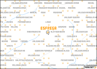
Esfrega (Castelo Branco, Portugal)Esfrega is a town in the Castelo Branco region of Portugal. An overview map of the region around Esfrega is displayed below.
regional and 3d topo map of Esfrega, Portugal ::
Esfrega airports ::
The nearest airport is BJZ - Badajoz Talavera La Real, located 136.2 km south east of Esfrega.
Other airports nearby include VRL - Vila Real (160.3 km north), LIS - Lisbon Lisboa (162.1 km south west), OPO - Porto (172.7 km north west), Nearby towns ::
Forneas (1.9km north) //
Conqueiros (2.3km south west) //
Herdade (2.3km north east) //
Alvito da Beira (2.8km east) //
Pena Falcão (3.7km south) //
Isna (2.8km west) //
Lisga (3.7km north) //
Vales (3.4km south east) //
Pedras Brancas (4.0km south) //
Venda (4.7km south east) //
Vale da Ussa (4.7km south west) //
Ribeira da Isna (4.3km west) //
Aldeia Cimeira (5.7km south) //
Sobrainho (4.7km south east) //
Dáspera (4.7km north east) //
Montes da Senhora (6.2km south east) //
Chão Redondo (5.7km south east) //
Castanheira da Sobreira (5.7km south west) //
Sobreira Formosa (7.5km south) //
Roda (7.5km north) //
Ferraria (7.0km south east) //
Amieirinha (7.0km north east) //
Povoinha (7.9km north) //
Póvoa da Carvalha (8.0km north east) //
Chão do Galego (8.6km south east) //
Atalaia (8.6km south west) //
Bafareira (8.6km north east) //
Braçal (8.6km north west) //
[all distances 'as the bird flies' and approximate] 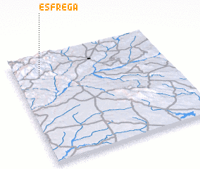 Places with similar names to Esfrega, Portugal ::
// Esfaraq (IR)
Disclaimer :: Information on this page comes without warranty of any kind |
||
|
Where is Esfrega? Elevation and coordinates ::
Latitude (lat): 39°50'0"N Longitude (lon): 7°50'0"W
Elevation (approx.): 588m (map arrows pan, magnifying glasses zoom) |
||
|
Visiting Esfrega? Hotel/Accommodation ::
Book a hotel in Esfrega Travel Guide ::
Buy a travel guide for Portugal rental cars ::
car rental offers GPS waypoint ::
download a GPX waypoint (PoI) of Esfrega for your GPS receiver
|
||