|
search place name
|
||
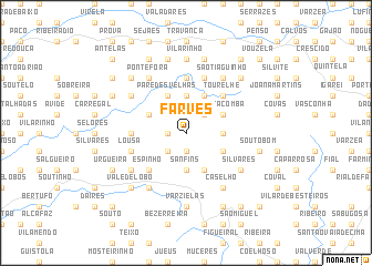
Farves (Viseu, Portugal)Farves is a town in the Viseu region of Portugal. An overview map of the region around Farves is displayed below.
regional and 3d topo map of Farves, Portugal ::
Farves airports ::
The nearest airport is OPO - Porto, located 78.5 km north west of Farves.
Other airports nearby include VRL - Vila Real (79.5 km north east), VGO - Vigo (179.5 km north), BGC - Braganca (182.5 km north east), LIS - Lisbon Lisboa (223.0 km south), Nearby towns ::
Crasto de Campia (1.4km west) //
Malhada (1.9km south) //
Mogueirães (2.3km north east) //
Cabo de Vila (2.3km south west) //
Sanfins (3.7km south) //
Alcofra (3.7km south) //
Carvalhal de Vermilhas (2.8km east) //
Levide (3.7km north) //
Nogueira (4.0km south) //
Cambra de Baixo (4.0km north) //
Santa Comba (3.4km north east) //
Abelheira (3.4km south east) //
Cambarinho (4.0km north) //
Paredes Velhas (4.0km north) //
Campia (3.4km north west) //
Tourelhe (4.7km north east) //
Cambra (4.7km north east) //
Confulcos (4.7km north east) //
Espinho (4.7km south west) //
Rebordinho (4.2km west) //
Pés de Ponte (5.6km north) //
Queijadães (5.7km north) //
Albitelhe (4.6km south west) //
Adecide (4.6km south west) //
Lousa (4.6km south west) //
Carvalhal da Mulher (5.6km south east) //
Silvares (5.6km south east) //
Caselho (6.2km south east) //
Covelo (5.6km south west) //
[all distances 'as the bird flies' and approximate] 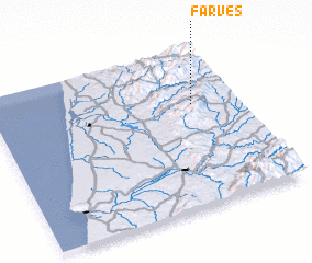 Places with similar names to Farves, Portugal ::
Disclaimer :: Information on this page comes without warranty of any kind |
||
|
Where is Farves? Elevation and coordinates ::
Latitude (lat): 40°39'0"N Longitude (lon): 8°11'0"W
Elevation (approx.): 750m (map arrows pan, magnifying glasses zoom) |
||
|
Visiting Farves? Hotel/Accommodation ::
Book a hotel in Farves Travel Guide ::
Buy a travel guide for Portugal rental cars ::
car rental offers GPS waypoint ::
download a GPX waypoint (PoI) of Farves for your GPS receiver
|
||