|
search place name
|
||
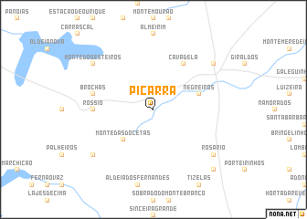
Piçarra (Beja, Portugal)Piçarra is a town in the Beja region of Portugal. An overview map of the region around Piçarra is displayed below.
regional and 3d topo map of Piçarra, Portugal ::
Piçarra airports ::
The nearest airport is FAO - Faro, located 72.4 km south of Piçarra.
Other airports nearby include LIS - Lisbon Lisboa (152.4 km north west), BJZ - Badajoz Talavera La Real (180.3 km north east), Nearby towns ::
Grandaços (2.4km north west) //
Monte das Docetas (4.7km south west) //
Negreiros (4.8km north east) //
Cavadela (6.3km north east) //
Rossio (5.9km west) //
Ourique (5.9km west) //
Brochas (6.2km west) //
Aldeia Nova da Favela (8.1km south west) //
Rosário (8.1km south east) //
Monte dos Esteiros (8.1km north west) //
Castro Verde (8.1km north east) //
A do Neves (9.5km south east) //
[all distances 'as the bird flies' and approximate] 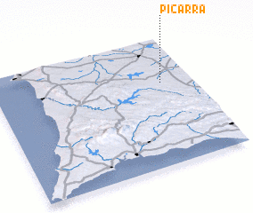 Places with similar names to Piçarra, Portugal ::
Disclaimer :: Information on this page comes without warranty of any kind |
||
|
Where is Piçarra? Elevation and coordinates ::
Latitude (lat): 37°39'0"N Longitude (lon): 8°9'0"W
Elevation (approx.): 231m (map arrows pan, magnifying glasses zoom) |
||
|
Visiting Piçarra? Hotel/Accommodation ::
Book a hotel in Piçarra Travel Guide ::
Buy a travel guide for Portugal rental cars ::
car rental offers GPS waypoint ::
download a GPX waypoint (PoI) of Piçarra for your GPS receiver
|
||