|
search place name
|
||
Pomarelhos (Vila Real, Portugal)Pomarelhos is a town in the Vila Real region of Portugal. An overview map of the region around Pomarelhos is displayed below.
regional and 3d topo map of Pomarelhos, Portugal ::

Pomarelhos airports ::
The nearest airport is VRL - Vila Real, located 5.9 km north east of Pomarelhos.
Other airports nearby include OPO - Porto (75.3 km west), BGC - Braganca (112.3 km north east), VGO - Vigo (129.7 km north west), SCQ - Santiago (190.2 km north), Nearby towns ::
Veiga (0.0km north) //
Assento (1.4km east) //
Cumieira (1.4km east) //
Fornelos (1.4km west) //
Arnadelo (1.9km north) //
Concieiro (1.9km south) //
Relvas (2.3km north east) //
Bertelo (2.3km south east) //
Mafomedes (2.3km south west) //
Cever (3.7km south) //
Granja (3.7km north) //
Bizalhães (3.7km north) //
Mondrões (3.7km north) //
Santa Comba (3.7km south) //
Louredo (2.8km west) //
Parada de Cunhos (4.0km north) //
Ermida (3.3km south east) //
Paredes de Arcâ (4.0km south) //
Tuisendes (3.3km north west) //
Meneses (3.3km north west) //
Torgueda (3.3km north west) //
Fontes (3.3km south west) //
Povoação (4.6km south east) //
Arrabães (4.6km north west) //
Medrões (4.6km south west) //
Pena (4.6km north west) //
Quintela (5.6km north) //
São Miguel de Lobrigos (5.6km south) //
Lobrigos (5.6km south) //
[all distances 'as the bird flies' and approximate] 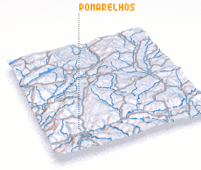 Places with similar names to Pomarelhos, Portugal :: Disclaimer :: Information on this page comes without warranty of any kind |
||
|
Where is Pomarelhos? Elevation and coordinates ::
Latitude (lat): 41°15'0"N Longitude (lon): 7°47'0"W
Elevation (approx.): 405m (map arrows pan, magnifying glasses zoom) |
||
|
Visiting Pomarelhos? Hotel/Accommodation ::
Book a hotel in Pomarelhos Travel Guide ::
Buy a travel guide for Portugal rental cars ::
car rental offers GPS waypoint ::
download a GPX waypoint (PoI) of Pomarelhos for your GPS receiver
|
||