|
search place name
|
||
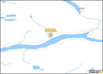
Årdal (Sogn og Fjordane, Norway)Årdal is a town in the Sogn og Fjordane region of Norway. An overview map of the region around Årdal is displayed below.
regional and 3d topo map of Årdal, Norway ::
Årdal airports ::
The nearest airport is FRO - Floro, located 70.5 km west of Årdal.
Other airports nearby include AES - Alesund Vigra (113.3 km north), MOL - Molde Aro (141.4 km north), BGO - Bergen Flesland (152.9 km south west), KSU - Kristiansund Kvernberget (190.1 km north east), Nearby towns ::
[all distances 'as the bird flies' and approximate] 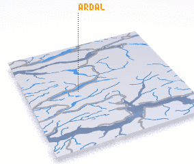 Places with similar names to Årdal, Norway ::
Disclaimer :: Information on this page comes without warranty of any kind |
||
|
Where is Årdal? Elevation and coordinates ::
Latitude (lat): 61°33'0"N Longitude (lon): 6°21'0"E
(map arrows pan, magnifying glasses zoom) |
||
|
Visiting Årdal? Hotel/Accommodation ::
Book a hotel in Årdal Travel Guide ::
Buy a travel guide for Norway rental cars ::
car rental offers GPS waypoint ::
download a GPX waypoint (PoI) of Årdal for your GPS receiver
|
||