|
search place name
|
||
Bossbøen (Telemark, Norway)Bossbøen is a town in the Telemark region of Norway. An overview map of the region around Bossbøen is displayed below.
regional and 3d topo map of Bossbøen, Norway ::

Bossbøen airports ::
The nearest airport is SKE - Skien Geiteryggen, located 98.8 km south east of Bossbøen.
Other airports nearby include VDB - Fagernes Leirin (150.5 km north), KRS - Kristiansand Kjevik (174.3 km south), FAN - Lista (207.9 km south west), Nearby towns ::
Torvetjørn (4.2km south west) //
Sneiselii (5.3km north east) //
Holvik (7.9km north) //
[all distances 'as the bird flies' and approximate] 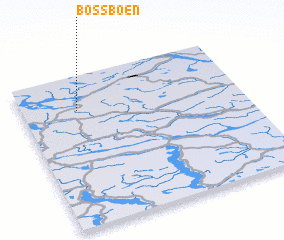 Places with similar names to Bossbøen, Norway ::
// Bezzubino (RU)
// Boussabina (CF)
// Basebani (ZM)
// Bas Boen (HT)
// Baisubani (GE)
// Basbīnā (LB)
// Bizbīnā (LB)
// Baysubino (RU)
// Bou Zabène (DZ)
// Bosebyn (SE)
Disclaimer :: Information on this page comes without warranty of any kind |
||
|
Where is Bossbøen? Elevation and coordinates ::
Latitude (lat): 59°46'0"N Longitude (lon): 8°15'0"E
Elevation (approx.): 1083m (map arrows pan, magnifying glasses zoom) |
||
|
Visiting Bossbøen? Hotel/Accommodation ::
Book a hotel in Bossbøen Travel Guide ::
Buy a travel guide for Norway rental cars ::
car rental offers GPS waypoint ::
download a GPX waypoint (PoI) of Bossbøen for your GPS receiver
|
||