|
search place name
|
||
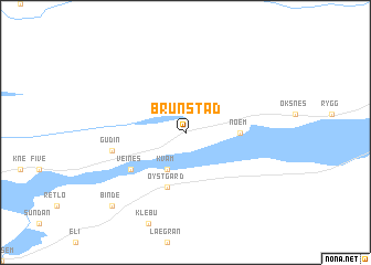
Brunstad (Nord-Trøndelag, Norway)Brunstad is a town in the Nord-Trøndelag region of Norway. An overview map of the region around Brunstad is displayed below.
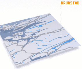
regional and 3d topo map of Brunstad, Norway ::
Brunstad airports ::
The nearest airport is TRD - Trondheim Vaernes, located 89.3 km south west of Brunstad.
Other airports nearby include BNN - Bronnoysund Bronnoy (145.9 km north), RRS - Roros (178.3 km south), MJF - Mosjoen Kjaerstad (192.8 km north), SSJ - Sandnessjoen Stokka (202.3 km north), Nearby towns ::
 Places with similar names to Brunstad, Norway ::
// Brønnstad (NO)
// Brønnstad (NO)
// Brønstad (NO)
// Brunstad (NO)
// Barnstead (US)
// Burnstad (US)
// Brunstatt (FR)
// Branstad (US)
// Brännestad (SE)
// Brånnestad (SE)
Disclaimer :: Information on this page comes without warranty of any kind |
||
|
Where is Brunstad? Elevation and coordinates ::
Latitude (lat): 64°10'0"N Longitude (lon): 11°46'0"E
(map arrows pan, magnifying glasses zoom) |
||
|
Visiting Brunstad? Hotel/Accommodation ::
Book a hotel in Brunstad Travel Guide ::
Buy a travel guide for Norway rental cars ::
car rental offers GPS waypoint ::
download a GPX waypoint (PoI) of Brunstad for your GPS receiver
|
||