|
search place name
|
||
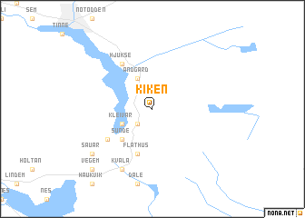
Kiken (Telemark, Norway)Kiken is a town in the Telemark region of Norway. An overview map of the region around Kiken is displayed below.
regional and 3d topo map of Kiken, Norway ::
Kiken airports ::
The nearest airport is SKE - Skien Geiteryggen, located 33.7 km south of Kiken.
Other airports nearby include TRF - Torp (60.4 km south east), OSL - Oslo Gardermoen (127.3 km north east), KRS - Kristiansand Kjevik (158.5 km south west), VDB - Fagernes Leirin (172.6 km north), Nearby towns ::
Tveiten (2.1km south west) //
Kleivar (2.6km south west) //
Andgard (3.8km north) //
Sunde (4.2km south west) //
Flathus (5.6km south) //
Hjukse (5.9km north) //
Farvollen (4.7km south west) //
Kvåla (7.6km south) //
Sauar (6.7km south west) //
Vegem (8.3km south west) //
[all distances 'as the bird flies' and approximate] 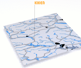 Places with similar names to Kiken, Norway ::
Disclaimer :: Information on this page comes without warranty of any kind |
||
|
Where is Kiken? Elevation and coordinates ::
Latitude (lat): 59°28'0"N Longitude (lon): 9°21'0"E
Elevation (approx.): 304m (map arrows pan, magnifying glasses zoom) |
||
|
Visiting Kiken? Hotel/Accommodation ::
Book a hotel in Kiken Travel Guide ::
Buy a travel guide for Norway rental cars ::
car rental offers GPS waypoint ::
download a GPX waypoint (PoI) of Kiken for your GPS receiver
|
||