|
search place name
|
||
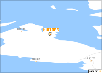
Kvitnes (Finnmark, Norway)Kvitnes is a town in the Finnmark region of Norway. An overview map of the region around Kvitnes is displayed below.
regional and 3d topo map of Kvitnes, Norway ::
Kvitnes airports ::
The nearest airport is LKL - Banak, located 87.8 km south of Kvitnes.
Other airports nearby include ALF - Alta (103.3 km south west), Nearby towns ::
[all distances 'as the bird flies' and approximate] 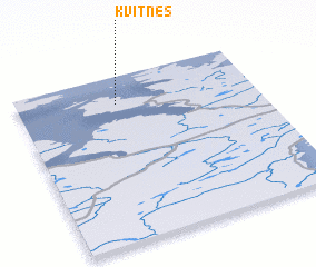
Disclaimer :: Information on this page comes without warranty of any kind |
||
|
Where is Kvitnes? Elevation and coordinates ::
Latitude (lat): 70°50'0"N Longitude (lon): 24°25'0"E
(map arrows pan, magnifying glasses zoom) |
||
|
Visiting Kvitnes? Hotel/Accommodation ::
Book a hotel in Kvitnes Travel Guide ::
Buy a travel guide for Norway rental cars ::
car rental offers GPS waypoint ::
download a GPX waypoint (PoI) of Kvitnes for your GPS receiver
|
||