|
search place name
|
||
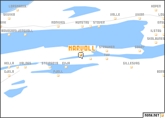
Marvoll (Nordland, Norway)Marvoll is a town in the Nordland region of Norway. An overview map of the region around Marvoll is displayed below.
regional and 3d topo map of Marvoll, Norway ::
Marvoll airports ::
The nearest airport is BOO - Bodoe Bodo, located 11.1 km north west of Marvoll.
Other airports nearby include MJF - Mosjoen Kjaerstad (171.0 km south), Nearby towns ::
Straum (1.9km north) //
Laukeng (0.7km east) //
Evja (2.3km south west) //
Tuv (2.2km east) //
Knapplund (2.8km north east) //
Straumen (2.8km north east) //
Fjell (4.3km south west) //
Hunstad (7.4km north) //
Bertnes (7.4km north) //
Steinsøya (3.4km south west) //
Støver (7.6km north) //
Mørkved (7.7km north) //
[all distances 'as the bird flies' and approximate]  Places with similar names to Marvoll, Norway ::
// Marvel (US)
// Maryville (US)
// Maryvale (US)
// Marvell (US)
// Marvel (US)
// Maryvale (US)
// Mooreville (US)
// Murrayville (US)
// Maryville (US)
// Murrayville (US)
Disclaimer :: Information on this page comes without warranty of any kind |
||
|
Where is Marvoll? Elevation and coordinates ::
Latitude (lat): 67°13'0"N Longitude (lon): 14°35'0"E
(map arrows pan, magnifying glasses zoom) |
||
|
Visiting Marvoll? Hotel/Accommodation ::
Book a hotel in Marvoll Travel Guide ::
Buy a travel guide for Norway rental cars ::
car rental offers GPS waypoint ::
download a GPX waypoint (PoI) of Marvoll for your GPS receiver
|
||