|
search place name
|
||
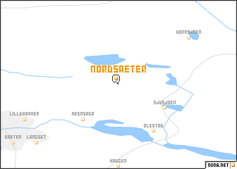
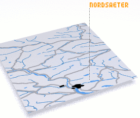
Nordsæter (Oppland, Norway)Nordsæter is a town in the Oppland region of Norway. An overview map of the region around Nordsæter is displayed below.
regional and 3d topo map of Nordsæter, Norway ::
Nordsæter airports ::
The nearest airport is VDB - Fagernes Leirin, located 74.9 km west of Nordsæter.
Other airports nearby include OSL - Oslo Gardermoen (113.2 km south), RRS - Roros (159.9 km north), TRF - Torp (223.4 km south), SKE - Skien Geiteryggen (230.4 km south), Nearby towns ::
 Places with similar names to Nordsæter, Norway ::
// Nart Stary (PL)
// Noordstroe (NL)
Disclaimer :: Information on this page comes without warranty of any kind |
||
|
Where is Nordsæter? Elevation and coordinates ::
Latitude (lat): 61°11'0"N Longitude (lon): 10°38'0"E
(map arrows pan, magnifying glasses zoom) |
||
|
Visiting Nordsæter? Hotel/Accommodation ::
Book a hotel in Nordsæter Travel Guide ::
Buy a travel guide for Norway rental cars ::
car rental offers GPS waypoint ::
download a GPX waypoint (PoI) of Nordsæter for your GPS receiver
|
||