|
search place name
|
||
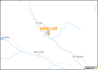
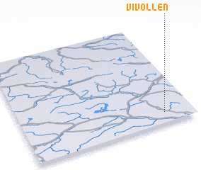
Vivollen (Hedmark, Norway)Vivollen is a town in the Hedmark region of Norway. An overview map of the region around Vivollen is displayed below.
regional and 3d topo map of Vivollen, Norway ::
Vivollen airports ::
The nearest airport is RRS - Roros, located 59.5 km north east of Vivollen.
Other airports nearby include VDB - Fagernes Leirin (146.1 km south west), TRD - Trondheim Vaernes (151.4 km north), OLA - Orland (188.8 km north), OSL - Oslo Gardermoen (212.9 km south), Nearby towns ::
 Places with similar names to Vivollen, Norway ::
Disclaimer :: Information on this page comes without warranty of any kind |
||
|
Where is Vivollen? Elevation and coordinates ::
Latitude (lat): 62°6'0"N Longitude (lon): 10°50'0"E
(map arrows pan, magnifying glasses zoom) |
||
|
Visiting Vivollen? Hotel/Accommodation ::
Book a hotel in Vivollen Travel Guide ::
Buy a travel guide for Norway rental cars ::
car rental offers GPS waypoint ::
download a GPX waypoint (PoI) of Vivollen for your GPS receiver
|
||