|
search place name
|
||
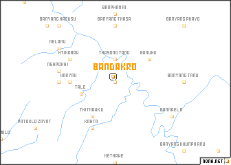
Ban Da Kro (Thailand)Ban Da Kro is a town in Thailand. An overview map of the region around Ban Da Kro is displayed below.
regional and 3d topo map of Ban Da Kro, Thailand ::
Ban Da Kro airports ::
The nearest airport is LPT - Lampang, located 180.7 km north east of Ban Da Kro.
Other airports nearby include PRH - Phrae (230.3 km north east), Nearby towns ::
Ban Yae So (0.0km north) //
Ban Khu (0.0km north) //
Ban Phayo (0.0km north) //
Ban Tanu (0.0km north) //
Tha Song Yang (3.7km north) //
Talè (5.6km west) //
Thitmawku (6.6km south west) //
Ban U Hu (6.5km north east) //
Wa-kyaw (7.1km west) //
Kahta (8.2km south west) //
Htikabaw (8.0km north west) //
[all distances 'as the bird flies' and approximate] 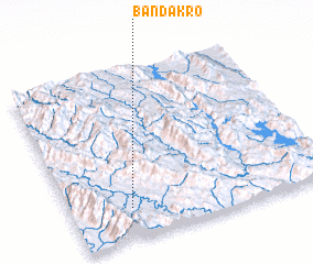 Places with similar names to Ban Da Kro, Thailand ::
// Ban Dok Krai (TH)
// Ban Takhrai (TH)
// Ban Takhrai (TH)
// Ban Takhria (TH)
// Ban Takhria (TH)
// Ban Ta Khro (TH)
// Ban Takhro (TH)
// Ban Takhro (TH)
// Ban Takhro (TH)
// Ban Tako Rai (TH)
Disclaimer :: Information on this page comes without warranty of any kind |
||
|
Where is Ban Da Kro? Elevation and coordinates ::
Latitude (lat): 17°11'0"N Longitude (lon): 98°14'0"E
Elevation (approx.): 155m (map arrows pan, magnifying glasses zoom) |
||
|
Visiting Ban Da Kro? Hotel/Accommodation ::
Book a hotel in Ban Da Kro Travel Guide ::
Buy a travel guide for Thailand rental cars ::
car rental offers GPS waypoint ::
download a GPX waypoint (PoI) of Ban Da Kro for your GPS receiver
|
||