|
search place name
|
||
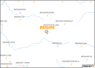
Ban Di Po (Mae Hong Son, Thailand)Ban Di Po is a town in the Mae Hong Son region of Thailand. An overview map of the region around Ban Di Po is displayed below.
regional and 3d topo map of Ban Di Po, Thailand ::
Ban Di Po airports ::
The nearest airport is LPT - Lampang, located 168.1 km south east of Ban Di Po.
Other airports nearby include MOG - Mong Hsat (212.6 km north east), HEH - Heho (240.2 km north west), THL - Tachilek Tachileik (258.0 km north east), Nearby towns ::
Ban Huai Mak Lang (2.9km north east) //
Ban Na Pho (6.0km south east) //
Ban Huai Bo Rang (7.3km north) //
Ban Yang Mae Samat (7.6km north east) //
[all distances 'as the bird flies' and approximate] 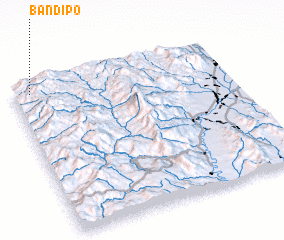 Places with similar names to Ban Di Po, Thailand ::
Disclaimer :: Information on this page comes without warranty of any kind |
||
|
Where is Ban Di Po? Elevation and coordinates ::
Latitude (lat): 18°57'8"N Longitude (lon): 98°4'50"E
Elevation (approx.): 1230m (map arrows pan, magnifying glasses zoom) |
||
|
Visiting Ban Di Po? Hotel/Accommodation ::
Book a hotel in Ban Di Po Travel Guide ::
Buy a travel guide for Thailand rental cars ::
car rental offers GPS waypoint ::
download a GPX waypoint (PoI) of Ban Di Po for your GPS receiver
|
||