|
search place name
|
||
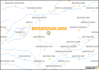
Ban Dong Sua Luang (Phetchabun, Thailand)Ban Dong Sua Luang is a town in the Phetchabun region of Thailand. An overview map of the region around Ban Dong Sua Luang is displayed below.
regional and 3d topo map of Ban Dong Sua Luang, Thailand ::
Ban Dong Sua Luang airports ::
The nearest airport is PHS - Phitsanulok, located 79.8 km north west of Ban Dong Sua Luang.
Other airports nearby include LOE - Loei (180.2 km north east), NAK - Nakhon Ratchasima Khorat (203.8 km south east), PRH - Phrae (224.0 km north), VTE - Vientiane Wattay Intl (285.3 km north east), Nearby towns ::
Ban Wang Hin Phoeng (3.6km west) //
Ban Khao Sai (4.0km south west) //
Ban Khao Nok Yung (5.8km south) //
Ban Wang Daeng (6.6km north west) //
Ban I Tu (8.0km north west) //
Ban Dong Khui (9.0km south east) //
Ban Dong Khui Nua (9.0km south east) //
Ban Dong Khui Tai (1) (9.1km south east) //
[all distances 'as the bird flies' and approximate] 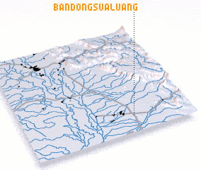 Places with similar names to Ban Dong Sua Luang, Thailand ::
// Ban Dong Sua Luang (TH)
// Ban Tongsaluang (LA)
Disclaimer :: Information on this page comes without warranty of any kind |
||
|
Where is Ban Dong Sua Luang? Elevation and coordinates ::
Latitude (lat): 16°10'0"N Longitude (lon): 100°40'0"E
Elevation (approx.): 64m (map arrows pan, magnifying glasses zoom) |
||
|
Visiting Ban Dong Sua Luang? Hotel/Accommodation ::
Book a hotel in Ban Dong Sua Luang Travel Guide ::
Buy a travel guide for Thailand rental cars ::
car rental offers GPS waypoint ::
download a GPX waypoint (PoI) of Ban Dong Sua Luang for your GPS receiver
|
||