|
search place name
|
||
Ban Don Khilek (Udon Thani, Thailand)Ban Don Khilek is a town in the Udon Thani region of Thailand. An overview map of the region around Ban Don Khilek is displayed below.
regional and 3d topo map of Ban Don Khilek, Thailand ::

Ban Don Khilek airports ::
The nearest airport is UTH - Udon Thani, located 48.6 km south west of Ban Don Khilek.
Other airports nearby include VTE - Vientiane Wattay Intl (68.4 km north west), SNO - Sakon Nakhon (118.7 km south east), LOE - Loei (151.3 km west), ZVK - Savannakhet (214.1 km south east), Nearby towns ::
Ban Hua Dong Yang (2.0km south west) //
Ban Taling Chan (3.5km north) //
Ban Na Mai (3.9km north west) //
Ban Nong Phong (4.3km west) //
Ban Na Di (5.4km east) //
Ban Chai (5.6km south east) //
Ban Thung (6.6km south east) //
Ban Na Kham (6.9km south west) //
Ban Khang Hung (7.3km north east) //
Ban Nong Kung (7.4km west) //
Ban Nong Chai Wan (7.5km west) //
Ban Thon Na Phloen (8.1km south) //
Ban Na Di (8.2km south west) //
Ban Thon (8.5km south east) //
Ban Hin Ngom (8.8km north) //
Ban Na Phang (9.4km south west) //
Ban Yuat (9.9km north west) //
Ban Kot Du (11.1km north east) //
[all distances 'as the bird flies' and approximate] 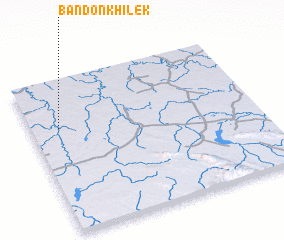 Places with similar names to Ban Don Khilek, Thailand ::
// Ban Don Khi Lek (TH)
// Ban Don Khi Lek (TH)
Disclaimer :: Information on this page comes without warranty of any kind |
||
|
Where is Ban Don Khilek? Elevation and coordinates ::
Latitude (lat): 17°41'3"N Longitude (lon): 103°7'28"E
Elevation (approx.): 169m (map arrows pan, magnifying glasses zoom) |
||
|
Visiting Ban Don Khilek? Hotel/Accommodation ::
Book a hotel in Ban Don Khilek Travel Guide ::
Buy a travel guide for Thailand rental cars ::
car rental offers GPS waypoint ::
download a GPX waypoint (PoI) of Ban Don Khilek for your GPS receiver
|
||