|
search place name
|
||
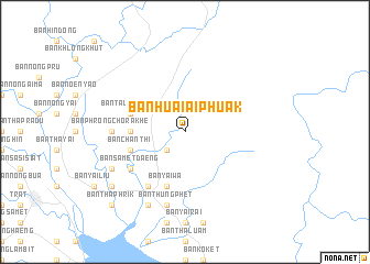
Ban Huai Ai Phuak (Trat, Thailand)Ban Huai Ai Phuak is a town in the Trat region of Thailand. An overview map of the region around Ban Huai Ai Phuak is displayed below.
regional and 3d topo map of Ban Huai Ai Phuak, Thailand ::
Ban Huai Ai Phuak airports ::
The nearest airport is REP - Siem-reap Siem Reap, located 176.2 km north east of Ban Huai Ai Phuak.
Other airports nearby include UTP - Rayong U Taphao Intl (183.7 km west), Nearby towns ::
Ban Tha Kum (2.6km south west) //
Ban Kai Dak (5.4km west) //
Ban Yai Wa (5.8km south) //
Ban Taling Chan (5.7km west) //
Ban Chanthi (5.7km west) //
Ban Noen Sung (6.6km south west) //
Ban Samet Daeng (6.6km south west) //
Ban Phrong Chorakhe (7.2km west) //
Ban Thung Phet (7.6km south) //
Ban Nong Phae Phlot (8.1km south west) //
Ban Bang Phet (8.3km south west) //
Ban Laem Yang (9.1km south west) //
Ban Tha Phrik (10.4km south west) //
[all distances 'as the bird flies' and approximate] 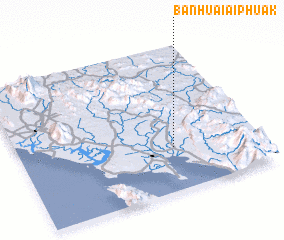 Places with similar names to Ban Huai Ai Phuak, Thailand ::
// Ban Huai Faek (TH)
// Ban Huai Faek (TH)
// Ban Huai Phuk (TH)
// Ban Houayphay (2) (LA)
// Ban Houay Phék (LA)
// Ban Houayphok (LA)
// Ban Houay Phouk (LA)
// Ban Houayphouk (LA)
// Ban Houayphouk (LA)
// Ban Houayphouk (LA)
Disclaimer :: Information on this page comes without warranty of any kind |
||
|
Where is Ban Huai Ai Phuak? Elevation and coordinates ::
Latitude (lat): 12°18'0"N Longitude (lon): 102°39'0"E
Elevation (approx.): 16m (map arrows pan, magnifying glasses zoom) |
||
|
Visiting Ban Huai Ai Phuak? Hotel/Accommodation ::
Book a hotel in Ban Huai Ai Phuak Travel Guide ::
Buy a travel guide for Thailand rental cars ::
car rental offers GPS waypoint ::
download a GPX waypoint (PoI) of Ban Huai Ai Phuak for your GPS receiver
|
||