|
search place name
|
||
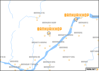
Ban Huai Khop (Thailand)Ban Huai Khop is a town in Thailand. An overview map of the region around Ban Huai Khop is displayed below.
regional and 3d topo map of Ban Huai Khop, Thailand ::
Ban Huai Khop airports ::
The nearest airport is VTE - Vientiane Wattay Intl, located 65.6 km east of Ban Huai Khop.
Other airports nearby include LOE - Loei (82.8 km south), UTH - Udon Thani (121.4 km south east), PRH - Phrae (190.7 km west), LPQ - Luang Prabang Luang Phabang Intl (194.6 km north), Nearby towns ::
Ban Khok Bao (0.0km north) //
Ban Khok Wao (1.8km west) //
Ban Huai Khuap (3.7km north) //
Ban Houaytankèo (4.0km south) //
Ban Pak Mang (4.8km south east) //
Kôk Muat (5.0km south) //
Ban Hat Khamphi (5.1km south west) //
Ban Hat Khamphi (6.0km east) //
Ban Nalèng-Tai (7.4km north west) //
Ban Na Mo (7.7km south east) //
Ban Na Leng (8.2km north west) //
Ban Nalèng-Nua (8.2km north west) //
Ban Khok Bao (8.5km east) //
[all distances 'as the bird flies' and approximate] 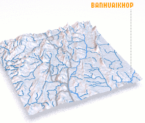 Places with similar names to Ban Huai Khop, Thailand ::
Disclaimer :: Information on this page comes without warranty of any kind |
||
|
Where is Ban Huai Khop? Elevation and coordinates ::
Latitude (lat): 18°9'0"N Longitude (lon): 101°58'0"E
Elevation (approx.): 269m (map arrows pan, magnifying glasses zoom) |
||
|
Visiting Ban Huai Khop? Hotel/Accommodation ::
Book a hotel in Ban Huai Khop Travel Guide ::
Buy a travel guide for Thailand rental cars ::
car rental offers GPS waypoint ::
download a GPX waypoint (PoI) of Ban Huai Khop for your GPS receiver
|
||