|
search place name
|
||
Ban Kadae Chae (Surat Thani, Thailand)Ban Kadae Chae is a town in the Surat Thani region of Thailand. An overview map of the region around Ban Kadae Chae is displayed below.
regional and 3d topo map of Ban Kadae Chae, Thailand ::

Ban Kadae Chae airports ::
The nearest airport is NST - Nakhon Si Thammarat Cha Ian, located 98.6 km south east of Ban Kadae Chae.
Other airports nearby include HKT - Phuket Intl (169.3 km south west), TST - Trang (186.5 km south), Nearby towns ::
Ban Khao Kaeo (3.7km south) //
Ban Son (4.1km south east) //
Ban Bo Thong (5.2km south west) //
Kanchanadit (5.8km east) //
Ban Saba Yoi (7.3km west) //
Ban Pak Nam Kradae (7.5km east) //
Ban Nong Suan (8.2km south east) //
Ban Tha Phet (9.2km south west) //
Ban Don Ya (9.2km south east) //
Ban Tha Phet Noi (10.4km south west) //
[all distances 'as the bird flies' and approximate] 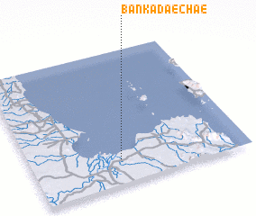 Places with similar names to Ban Kadae Chae, Thailand ::
// Ban Kut Chi (TH)
// Bunketch (AU)
Disclaimer :: Information on this page comes without warranty of any kind |
||
|
Where is Ban Kadae Chae? Elevation and coordinates ::
Latitude (lat): 9°11'0"N Longitude (lon): 99°25'0"E
Elevation (approx.): 8m (map arrows pan, magnifying glasses zoom) |
||
|
Visiting Ban Kadae Chae? Hotel/Accommodation ::
Book a hotel in Ban Kadae Chae Travel Guide ::
Buy a travel guide for Thailand rental cars ::
car rental offers GPS waypoint ::
download a GPX waypoint (PoI) of Ban Kadae Chae for your GPS receiver
|
||