|
search place name
|
||
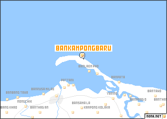
Ban Kampong Ba-Ru (Pattani, Thailand)Ban Kampong Ba-Ru is a town in the Pattani region of Thailand. An overview map of the region around Ban Kampong Ba-Ru is displayed below.
regional and 3d topo map of Ban Kampong Ba-Ru, Thailand ::
Ban Kampong Ba-Ru airports ::
The nearest airport is PAN - Pattani, located 24.0 km south west of Ban Kampong Ba-Ru.
Other airports nearby include NAW - Narathiwat (67.2 km south east), HDY - Songkhla Hat Yai Intl (100.8 km west), AOR - Alor Setar Sultan Abdul Halim (130.2 km south west), KBR - Kota Bahru Sultan Ismail Petra (138.8 km south east), Nearby towns ::
Ban Laem Pho (3.0km south east) //
Ban Da To (4.4km south east) //
Ban Laem Nok (6.2km south) //
Pattani (6.7km south west) //
Kampong Tanyong Lulo (7.6km south west) //
Ban Pa Ta (9.4km south east) //
Ban Rusamilae (10.2km south west) //
Yaring (11.0km south east) //
[all distances 'as the bird flies' and approximate] 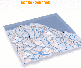 Places with similar names to Ban Kampong Ba-Ru, Thailand ::
// Ban Kam Pong Ba Ru (TH)
Disclaimer :: Information on this page comes without warranty of any kind |
||
|
Where is Ban Kampong Ba-Ru? Elevation and coordinates ::
Latitude (lat): 6°56'26"N Longitude (lon): 101°18'18"E
Elevation (approx.): 10m (map arrows pan, magnifying glasses zoom) |
||
|
Visiting Ban Kampong Ba-Ru? Hotel/Accommodation ::
Book a hotel in Ban Kampong Ba-Ru Travel Guide ::
Buy a travel guide for Thailand rental cars ::
car rental offers GPS waypoint ::
download a GPX waypoint (PoI) of Ban Kampong Ba-Ru for your GPS receiver
|
||