|
search place name
|
||
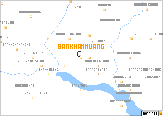
Ban Kham Muang (Thailand)Ban Kham Muang is a town in Thailand. An overview map of the region around Ban Kham Muang is displayed below.
regional and 3d topo map of Ban Kham Muang, Thailand ::
Ban Kham Muang airports ::
The nearest airport is UTH - Udon Thani, located 70.4 km north west of Ban Kham Muang.
Other airports nearby include SNO - Sakon Nakhon (90.2 km east), VTE - Vientiane Wattay Intl (136.0 km north west), ZVK - Savannakhet (162.6 km east), LOE - Loei (175.3 km west), Nearby towns ::
Ban Narin (0.0km north) //
Ban Khok Lao (0.0km north) //
Ban Pa Rai (1.8km east) //
Ban Khok Nong Waeng (4.0km south west) //
Ban Loeng Thon (4.0km south east) //
Ban Na Nong Thom (5.2km north west) //
Ban Nong Ya Sai (5.1km south east) //
Ban Kham Mong (5.2km north east) //
Ban Khok Kong (5.5km north) //
Ban Yang Um (7.4km south) //
Tha Khantho (8.0km south west) //
Ban Kut I Thao (8.6km north west) //
Ban Khok Lao (10.0km north east) //
[all distances 'as the bird flies' and approximate] 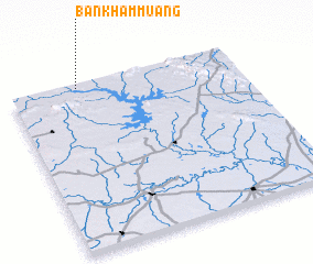 Places with similar names to Ban Kham Muang, Thailand ::
// Ban Khamang (TH)
// Ban Kham Bong (TH)
// Ban Kham Bong (TH)
// Ban Kham Bong (TH)
// Ban Kham Mong (TH)
// Ban Kham Muang (TH)
// Ban Kham Muang (TH)
// Ban Kham Muang (TH)
// Ban Khamong (TH)
// Ban Khao Muang (TH)
Disclaimer :: Information on this page comes without warranty of any kind |
||
|
Where is Ban Kham Muang? Elevation and coordinates ::
Latitude (lat): 16°59'0"N Longitude (lon): 103°18'0"E
Elevation (approx.): 194m (map arrows pan, magnifying glasses zoom) |
||
|
Visiting Ban Kham Muang? Hotel/Accommodation ::
Book a hotel in Ban Kham Muang Travel Guide ::
Buy a travel guide for Thailand rental cars ::
car rental offers GPS waypoint ::
download a GPX waypoint (PoI) of Ban Kham Muang for your GPS receiver
|
||