|
search place name
|
||
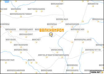
Ban Kham Pom (Nakhon Ratchasima, Thailand)Ban Kham Pom is a town in the Nakhon Ratchasima region of Thailand. An overview map of the region around Ban Kham Pom is displayed below.
regional and 3d topo map of Ban Kham Pom, Thailand ::
Ban Kham Pom airports ::
The nearest airport is NAK - Nakhon Ratchasima Khorat, located 91.9 km south west of Ban Kham Pom.
Other airports nearby include UTH - Udon Thani (193.1 km north), LOE - Loei (212.3 km north), SNO - Sakon Nakhon (243.1 km north east), BKK - Bangkok Intl (280.1 km south west), Nearby towns ::
Ban Non Du (3.7km north) //
Ban Nong Khom (4.0km north west) //
Ban Chot (5.7km west) //
Ban Oi Chang (5.8km south) //
Ban Sala Din (6.6km north east) //
Ban Talat Bua Tai (7.6km south) //
Ban Fa Phanang (7.4km east) //
Ban Wang Phon (8.0km north east) //
Ban Sam Muang (8.2km south east) //
[all distances 'as the bird flies' and approximate] 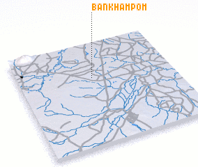 Places with similar names to Ban Kham Pom, Thailand ::
// Ban Kham Pom (TH)
// Ban Kham Pom (TH)
// Ban Kham Pom (TH)
// Ban Kham Pom (TH)
// Ban Kham Pom (TH)
// Ban Kham Pom (TH)
// Ban Kham Pom (TH)
// Ban Kham Pom (TH)
// Ban Kham Pom (TH)
// Ban Kham Pom (TH)
Disclaimer :: Information on this page comes without warranty of any kind |
||
|
Where is Ban Kham Pom? Elevation and coordinates ::
Latitude (lat): 15°40'0"N Longitude (lon): 102°29'0"E
Elevation (approx.): 185m (map arrows pan, magnifying glasses zoom) |
||
|
Visiting Ban Kham Pom? Hotel/Accommodation ::
Book a hotel in Ban Kham Pom Travel Guide ::
Buy a travel guide for Thailand rental cars ::
car rental offers GPS waypoint ::
download a GPX waypoint (PoI) of Ban Kham Pom for your GPS receiver
|
||