|
search place name
|
||
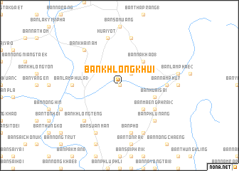
Ban Khlong Khui (Thailand)Ban Khlong Khui is a town in Thailand. An overview map of the region around Ban Khlong Khui is displayed below.
regional and 3d topo map of Ban Khlong Khui, Thailand ::
Ban Khlong Khui airports ::
The nearest airport is TST - Trang, located 19.4 km south of Ban Khlong Khui.
Other airports nearby include NST - Nakhon Si Thammarat Cha Ian (94.1 km north), HDY - Songkhla Hat Yai Intl (118.0 km south east), LGK - Pulau Langkawi Intl (150.1 km south), HKT - Phuket Intl (152.8 km west), Nearby towns ::
Ban Lam Phae (0.0km north) //
Ban Na Khao (0.0km north) //
Ban Sai Wan (1) (2.6km north east) //
Ban Hua Sai (1) (5.2km south east) //
Ban Na Khao (1) (5.2km north east) //
Ban Huai Sai (5.8km east) //
Ban Maeng Phrai (2) (6.6km south east) //
Ban Lamphu La (3) (7.3km west) //
Ban Nam Phut (7.3km east) //
Ban Pho (7.6km south) //
Huai Yot (7.6km north) //
Ban Khlong Khui (1) (7.6km north) //
Ban Khlong Teng (7.8km south west) //
Ban Phlu Nang (7.8km south east) //
Ban Khai Nam (7.8km north west) //
Ban Suan Man (8.3km south west) //
Ban Bo Si Siat (8.3km south west) //
Ban Nak To (8.3km south east) //
[all distances 'as the bird flies' and approximate] 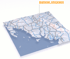 Places with similar names to Ban Khlong Khui, Thailand ::
// Ban Khlong Kha (TH)
// Ban Khlong Khae (TH)
// Ban Khlong Khae (TH)
// Ban Khlong Khe (TH)
// Ban Khlong Khoi (TH)
// Ban Klongkhoua (LA)
Disclaimer :: Information on this page comes without warranty of any kind |
||
|
Where is Ban Khlong Khui? Elevation and coordinates ::
Latitude (lat): 7°41'0"N Longitude (lon): 99°38'0"E
Elevation (approx.): 62m (map arrows pan, magnifying glasses zoom) |
||
|
Visiting Ban Khlong Khui? Hotel/Accommodation ::
Book a hotel in Ban Khlong Khui Travel Guide ::
Buy a travel guide for Thailand rental cars ::
car rental offers GPS waypoint ::
download a GPX waypoint (PoI) of Ban Khlong Khui for your GPS receiver
|
||