|
search place name
|
||
Ban Khlong Phai (Nakhon Ratchasima, Thailand)Ban Khlong Phai is a town in the Nakhon Ratchasima region of Thailand. An overview map of the region around Ban Khlong Phai is displayed below.
regional and 3d topo map of Ban Khlong Phai, Thailand ::

Ban Khlong Phai airports ::
The nearest airport is NAK - Nakhon Ratchasima Khorat, located 55.3 km east of Ban Khlong Phai.
Other airports nearby include BKK - Bangkok Intl (148.6 km south west), PHS - Phitsanulok (252.3 km north west), Nearby towns ::
Ban Nong Bua (3.3km south east) //
Ban Don Wan (5.5km south east) //
Ban Chan Thuk Mai (5.9km south west) //
Ban Lat Bua Khao (5.9km south east) //
Ban Non Na (6.8km east) //
Ban Khanan Chit (7.2km south west) //
Ban Kang Tum (7.5km east) //
Ban Mai Samrong (8.2km east) //
Ban Nong Phai (8.7km north) //
Ban Nong Khon (10.2km north west) //
[all distances 'as the bird flies' and approximate] 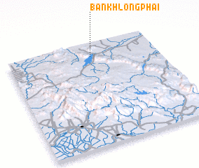 Places with similar names to Ban Khlong Phai, Thailand ::
Disclaimer :: Information on this page comes without warranty of any kind |
||
|
Where is Ban Khlong Phai? Elevation and coordinates ::
Latitude (lat): 14°52'29"N Longitude (lon): 101°34'6"E
Elevation (approx.): 257m (map arrows pan, magnifying glasses zoom) |
||
|
Visiting Ban Khlong Phai? Hotel/Accommodation ::
Book a hotel in Ban Khlong Phai Travel Guide ::
Buy a travel guide for Thailand rental cars ::
car rental offers GPS waypoint ::
download a GPX waypoint (PoI) of Ban Khlong Phai for your GPS receiver
|
||