|
search place name
|
||
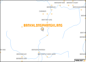
Ban Khlong Phang Klang (Surat Thani, Thailand)Ban Khlong Phang Klang is a town in the Surat Thani region of Thailand. An overview map of the region around Ban Khlong Phang Klang is displayed below.
regional and 3d topo map of Ban Khlong Phang Klang, Thailand ::
Ban Khlong Phang Klang airports ::
The nearest airport is HKT - Phuket Intl, located 92.3 km south west of Ban Khlong Phang Klang.
Other airports nearby include NST - Nakhon Si Thammarat Cha Ian (96.1 km east), TST - Trang (119.6 km south east), HDY - Songkhla Hat Yai Intl (221.4 km south east), Nearby towns ::
Ban Phan Sai (2.6km south east) //
Ban Mak (2.6km north east) //
Ban Pak Phreng (2) (2.6km south east) //
Ban Khao Kok (4.1km north east) //
Ban Yan Yung (4.1km north east) //
Chai Buri (7.4km north) //
Ban Trom (7.6km north) //
Ban Bang Kong (7.6km north) //
Ban Khuan Phu (8.3km north east) //
[all distances 'as the bird flies' and approximate] 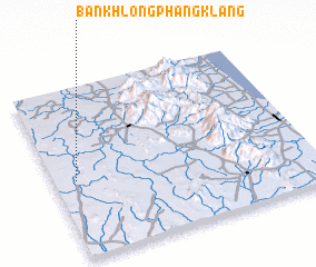 Places with similar names to Ban Khlong Phang Klang, Thailand :: Disclaimer :: Information on this page comes without warranty of any kind |
||
|
Where is Ban Khlong Phang Klang? Elevation and coordinates ::
Latitude (lat): 8°27'0"N Longitude (lon): 99°5'0"E
Elevation (approx.): 40m (map arrows pan, magnifying glasses zoom) |
||
|
Visiting Ban Khlong Phang Klang? Hotel/Accommodation ::
Book a hotel in Ban Khlong Phang Klang Travel Guide ::
Buy a travel guide for Thailand rental cars ::
car rental offers GPS waypoint ::
download a GPX waypoint (PoI) of Ban Khlong Phang Klang for your GPS receiver
|
||