|
search place name
|
||
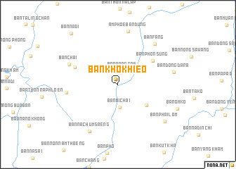
Ban Kho Khieo (Udon Thani, Thailand)Ban Kho Khieo is a town in the Udon Thani region of Thailand. An overview map of the region around Ban Kho Khieo is displayed below.
regional and 3d topo map of Ban Kho Khieo, Thailand ::
Ban Kho Khieo airports ::
The nearest airport is UTH - Udon Thani, located 54.9 km south west of Ban Kho Khieo.
Other airports nearby include VTE - Vientiane Wattay Intl (81.9 km north west), SNO - Sakon Nakhon (105.1 km south east), LOE - Loei (162.5 km west), ZVK - Savannakhet (200.7 km south east), Nearby towns ::
Ban Nong Tae (2.3km north) //
Ban Mi Chai (3.7km south) //
Ban Khok Sombun (5.5km south east) //
Ban Phon Sung (6.4km north east) //
Ban Thung (7.1km north west) //
Ban Thon (7.9km west) //
Ban Chai (8.0km north west) //
Amphoe Ban Dung (8.6km north) //
Ban Fang (8.5km north east) //
Ban Na Chum Saeng (8.6km south west) //
Ban Phai Lom (9.1km south east) //
Ban Na Di (10.8km north west) //
[all distances 'as the bird flies' and approximate] 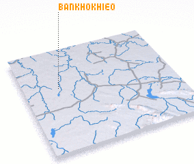 Places with similar names to Ban Kho Khieo, Thailand ::
// Ban Khae Khae (TH)
// Ban Khao Khao (TH)
// Ban Khao Khieo (TH)
// Ban Khok Haeo (TH)
// Ban Kho Khao (TH)
// Ban Kho Khao (TH)
// Ban Kho Khao (TH)
// Ban Khok Ho (TH)
// Ban Khok Kha (TH)
// Ban Khok Kha (TH)
Disclaimer :: Information on this page comes without warranty of any kind |
||
|
Where is Ban Kho Khieo? Elevation and coordinates ::
Latitude (lat): 17°37'45"N Longitude (lon): 103°14'21"E
Elevation (approx.): 165m (map arrows pan, magnifying glasses zoom) |
||
|
Visiting Ban Kho Khieo? Hotel/Accommodation ::
Book a hotel in Ban Kho Khieo Travel Guide ::
Buy a travel guide for Thailand rental cars ::
car rental offers GPS waypoint ::
download a GPX waypoint (PoI) of Ban Kho Khieo for your GPS receiver
|
||