|
search place name
|
||
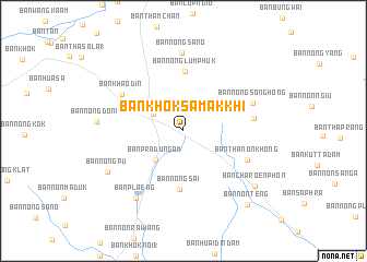
Ban Khok Samakkhi (Chaiyaphum, Thailand)Ban Khok Samakkhi is a town in the Chaiyaphum region of Thailand. An overview map of the region around Ban Khok Samakkhi is displayed below.
regional and 3d topo map of Ban Khok Samakkhi, Thailand ::
Ban Khok Samakkhi airports ::
The nearest airport is NAK - Nakhon Ratchasima Khorat, located 56.4 km south east of Ban Khok Samakkhi.
Other airports nearby include BKK - Bangkok Intl (212.8 km south west), PHS - Phitsanulok (228.2 km north west), UTH - Udon Thani (241.3 km north east), REP - Siem-reap Siem Reap (304.5 km south east), Nearby towns ::
Ban Nong Bua Khok (3.4km north west) //
Ban Pradu Ngam (4.0km south west) //
Ban Nong Sai (6.0km south) //
Ban Nong Lum Phuk (6.1km north) //
Ban Thanon Khong (7.0km south east) //
Ban Teng Tia (7.1km east) //
Ban Khao Din (7.2km north west) //
Ban Nong Song Hong (7.4km north east) //
Ban Nong Sano (7.9km north) //
Ban Plaeng (8.4km south west) //
Ban Nong Pu (8.6km south west) //
Ban Charoen Phon (9.0km south east) //
Ban Non Teng (9.8km south east) //
[all distances 'as the bird flies' and approximate] 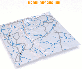 Places with similar names to Ban Khok Samakkhi, Thailand ::
// Ban Khok Samakkhi (TH)
Disclaimer :: Information on this page comes without warranty of any kind |
||
|
Where is Ban Khok Samakkhi? Elevation and coordinates ::
Latitude (lat): 15°23'55"N Longitude (lon): 101°51'38"E
Elevation (approx.): 248m (map arrows pan, magnifying glasses zoom) |
||
|
Visiting Ban Khok Samakkhi? Hotel/Accommodation ::
Book a hotel in Ban Khok Samakkhi Travel Guide ::
Buy a travel guide for Thailand rental cars ::
car rental offers GPS waypoint ::
download a GPX waypoint (PoI) of Ban Khok Samakkhi for your GPS receiver
|
||