|
search place name
|
||
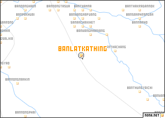
Ban Lat Kathing (Chachoengsao, Thailand)Ban Lat Kathing is a town in the Chachoengsao region of Thailand. An overview map of the region around Ban Lat Kathing is displayed below.
regional and 3d topo map of Ban Lat Kathing, Thailand ::
Ban Lat Kathing airports ::
The nearest airport is BKK - Bangkok Intl, located 98.2 km west of Ban Lat Kathing.
Other airports nearby include UTP - Rayong U Taphao Intl (111.0 km south west), NAK - Nakhon Ratchasima Khorat (164.2 km north east), HHQ - Prachuap Khiri Khan Hua Hin (193.3 km south west), Nearby towns ::
Ban Bang Phaniang (5.8km north) //
Ban Wang Phaniang (5.8km north) //
Ban Ang Muang (5.8km north) //
Sanam Chai Khet (7.4km north) //
Ban Nong Bot (7.4km north) //
Ban Tha Chang (7.4km east) //
Ban Phon Ngam (7.6km north) //
Ban Khu Yai Mi (7.6km north) //
Ban Rai (7.6km north) //
Ban Tha It (7.8km north east) //
Ban Sa Mai Daeng (7.8km north east) //
Ban Tha Muang (7.8km north east) //
[all distances 'as the bird flies' and approximate] 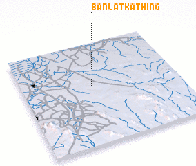 Places with similar names to Ban Lat Kathing, Thailand :: Disclaimer :: Information on this page comes without warranty of any kind |
||
|
Where is Ban Lat Kathing? Elevation and coordinates ::
Latitude (lat): 13°35'0"N Longitude (lon): 101°27'0"E
Elevation (approx.): 48m (map arrows pan, magnifying glasses zoom) |
||
|
Visiting Ban Lat Kathing? Hotel/Accommodation ::
Book a hotel in Ban Lat Kathing Travel Guide ::
Buy a travel guide for Thailand rental cars ::
car rental offers GPS waypoint ::
download a GPX waypoint (PoI) of Ban Lat Kathing for your GPS receiver
|
||