|
search place name
|
||
Ban Luang (Thailand)Ban Luang is a town in Thailand. An overview map of the region around Ban Luang is displayed below.
regional and 3d topo map of Ban Luang, Thailand ::

Ban Luang airports ::
The nearest airport is PRH - Phrae, located 74.3 km south of Ban Luang.
Other airports nearby include LPT - Lampang (96.7 km south west), THL - Tachilek Tachileik (189.0 km north), MOG - Mong Hsat (215.9 km north west), LOE - Loei (218.0 km south east), Nearby towns ::
King Amphoe Chiang Muan (0.0km north) //
Ban Mae Ten (2.6km south east) //
Ban Don Chai (7.4km south) //
Ban Sa-iam (7.4km south) //
Ban Phai (7.3km east) //
[all distances 'as the bird flies' and approximate] 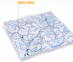 Places with similar names to Ban Luang, Thailand ::
// Ban Alang (TH)
// Ban Ao Ling (TH)
// Ban Laeng (TH)
// Ban Laeng (TH)
// Ban Lai Ngao (TH)
// Ban Lang (TH)
// Ban Lan Nok (TH)
// Ban Loeng (TH)
// Ban Long (TH)
// Ban Long O (TH)
Disclaimer :: Information on this page comes without warranty of any kind |
||
|
Where is Ban Luang? Elevation and coordinates ::
Latitude (lat): 18°48'0"N Longitude (lon): 100°14'0"E
Elevation (approx.): 260m (map arrows pan, magnifying glasses zoom) |
||
|
Visiting Ban Luang? Hotel/Accommodation ::
Book a hotel in Ban Luang Travel Guide ::
Buy a travel guide for Thailand rental cars ::
car rental offers GPS waypoint ::
download a GPX waypoint (PoI) of Ban Luang for your GPS receiver
|
||