|
search place name
|
||
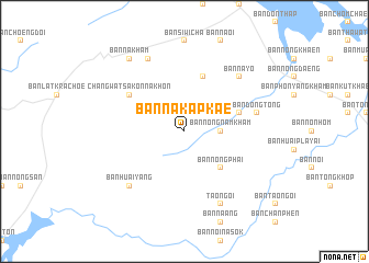
Ban Na Kap Kae (Sakon Nakhon, Thailand)Ban Na Kap Kae is a town in the Sakon Nakhon region of Thailand. An overview map of the region around Ban Na Kap Kae is displayed below.
regional and 3d topo map of Ban Na Kap Kae, Thailand ::
Ban Na Kap Kae airports ::
The nearest airport is SNO - Sakon Nakhon, located 16.2 km north of Ban Na Kap Kae.
Other airports nearby include ZVK - Savannakhet (89.0 km south east), UTH - Udon Thani (144.4 km west), VTE - Vientiane Wattay Intl (193.4 km north west), PKZ - Pakse (278.2 km south east), Nearby towns ::
Ban Nong Nam Kham (3.5km east) //
Ban Nong Phai (5.1km south east) //
Ban Dong Mafai (5.8km north) //
Ban Dong Luang (5.6km east) //
Changwat Sakon Nakhon (6.5km north west) //
Ban Dong Tong (7.3km east) //
Ban Huai Yang (7.7km south west) //
Ban Na Yo (7.7km north east) //
Ban Huai Yang (8.2km north west) //
Tao Ngoi (8.2km south east) //
Ban Na Kham (9.1km north west) //
[all distances 'as the bird flies' and approximate] 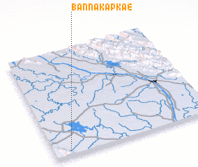 Places with similar names to Ban Na Kap Kae, Thailand ::
// Ban Ngop Kao (TH)
// Ban Kapay (2) (LA)
// Ban Kapay (2) (LA)
// Ban Kioupôk (LA)
// Beng Pouc (VN)
Disclaimer :: Information on this page comes without warranty of any kind |
||
|
Where is Ban Na Kap Kae? Elevation and coordinates ::
Latitude (lat): 17°3'0"N Longitude (lon): 104°6'0"E
Elevation (approx.): 199m (map arrows pan, magnifying glasses zoom) |
||
|
Visiting Ban Na Kap Kae? Hotel/Accommodation ::
Book a hotel in Ban Na Kap Kae Travel Guide ::
Buy a travel guide for Thailand rental cars ::
car rental offers GPS waypoint ::
download a GPX waypoint (PoI) of Ban Na Kap Kae for your GPS receiver
|
||