|
search place name
|
||
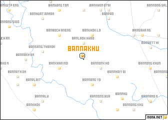
Ban Na Khu (Amnat Charoen, Thailand)Ban Na Khu is a town in the Amnat Charoen region of Thailand. An overview map of the region around Ban Na Khu is displayed below.
regional and 3d topo map of Ban Na Khu, Thailand ::
Ban Na Khu airports ::
The nearest airport is ZVK - Savannakhet, located 104.6 km north of Ban Na Khu.
Other airports nearby include PKZ - Pakse (143.4 km south east), SNO - Sakon Nakhon (178.9 km north), UTH - Udon Thani (270.2 km north west), Nearby towns ::
Ban Lao Khwao (3.7km north) //
Ban Non Kho (4.0km south east) //
Ban Kham Noi (5.7km west) //
Ban Khok Lo (5.8km north) //
Ban Nong Yo (5.8km south) //
Ban Bo Chaneng (7.7km north west) //
Ban Phai Yai (8.0km south east) //
Ban Phu (11.9km south east) //
[all distances 'as the bird flies' and approximate] 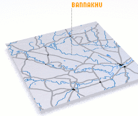 Places with similar names to Ban Na Khu, Thailand ::
// Ban Ai Khieo (TH)
// Ban Ai Khu (TH)
// Ban Ao Kho (TH)
// Ban Ao Khoei (TH)
// Ban I Kho (TH)
// Ban Kahae (TH)
// Ban Kha (TH)
// Ban Kha (TH)
// Ban Kha (TH)
// Ban Kha (TH)
Disclaimer :: Information on this page comes without warranty of any kind |
||
|
Where is Ban Na Khu? Elevation and coordinates ::
Latitude (lat): 15°38'0"N Longitude (lon): 104°33'0"E
Elevation (approx.): 126m (map arrows pan, magnifying glasses zoom) |
||
|
Visiting Ban Na Khu? Hotel/Accommodation ::
Book a hotel in Ban Na Khu Travel Guide ::
Buy a travel guide for Thailand rental cars ::
car rental offers GPS waypoint ::
download a GPX waypoint (PoI) of Ban Na Khu for your GPS receiver
|
||